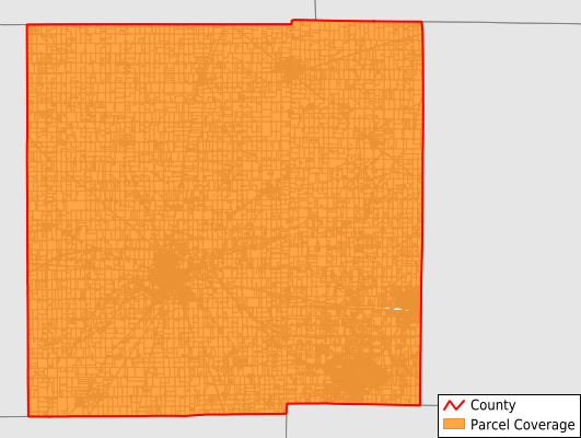
Crawford County
Parcel Data
Price: $200.00
Last Updated:
2025-Q2
Parcels in County:
33,667
Parcel data available to download as a GDB, GeoPackage, Shapefile, Excel, CSV, or Google Earth KML file.
All purchased data comes with six months of access, including any updates, at no additional cost.
Key attribute coverage for Crawford County
The percentage of Crawford County parcels containing the following key attributes:
Owner: 99.4%
Parcel Number: 100%
Acreage (Calculated): 100%
Site Address: 99.4%
Mailing Address: 98.7%
All available attributes in Crawford County
Parcel Number
Site Address
Owner
Land Use Code
Land Use Class
Acreage (deeded)
Acreage (calculated)
Perimeter
Municipality
School District
Zip Code
Flood Zone
Flood Zone Subtype
Census Tract
Census Block Group
Census Block
Mail Name
Mail Address1
Mail Address2
Mail Address3
Legal Desc1
Legal Desc2
Legal Desc3
Addr Sec Unit Num
Place Gnis Code
Land Cover
Elevation
Owner Occupied
Robust Id
Usps Residential
Plss Description
Plss Township
Plss Range
Crop Cover
Acreage Adjacent With Sameowner
Flood Zones
Nearest Transmission Line Dist Ft
Nearest Substation Dist Ft
Derived Geom Properties
Municipalities Respresented in Crawford County
Auburn Township: 874
Bucyrus Township: 1,039
Chatfield Township: 906
Cranberry Township: 1,472
Dallas Township: 563
Holmes Township: 1,300
Jackson Township: 466
Jefferson Township: 1,578
Liberty Township: 1,419
Lykens Township: 658
Polk Township: 1,645
Sandusky Township: 446
Texas Township: 408
Tod Township: 747
Vernon Township: 835
Whetstone Township: 2,230
Galion City Township: 6,596
Bucyrus City: 7,499
Crestline Village: 2,986
Save money when you buy data in bulk
We offer discounted pricing on county and state downloads.