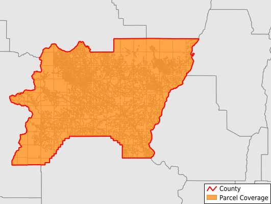
Baker County
Parcel Data
Price: $250.00
Last Updated:
2025-Q2
Parcels in County:
16,654
Parcel data available to download as a GDB, GeoPackage, Shapefile, Excel, CSV, or Google Earth KML file.
All purchased data comes with six months of access, including any updates, at no additional cost.
Key attribute coverage for Baker County
The percentage of Baker County parcels containing the following key attributes:
Owner: 89.9%
Parcel Number: 100%
Acreage (Calculated): 100%
Site Address: 89.9%
Mailing Address: 89.9%
All available attributes in Baker County
Parcel Number
Site Address
Owner
Acreage (calculated)
Perimeter
Municipality
School District
Zip Code
Census Tract
Census Block Group
Census Block
Mail Address1
Mail Address2
Mail Address3
Addr Sec Unit Num
Place Gnis Code
Land Cover
Elevation
Owner Occupied
Robust Id
Usps Residential
Alt Id 1
Plss Description
Plss Township
Plss Range
Plss Section
Crop Cover
Acreage Adjacent With Sameowner
Municipalities Respresented in Baker County
Baker City CCD: 7,432
Eagle Valley CCD: 1,918
Halfway CCD: 1,530
Hereford CCD: 2,803
Huntington CCD: 1,053
Wingville-Haines CCD: 1,918
Save money when you buy data in bulk
We offer discounted pricing on county and state downloads.