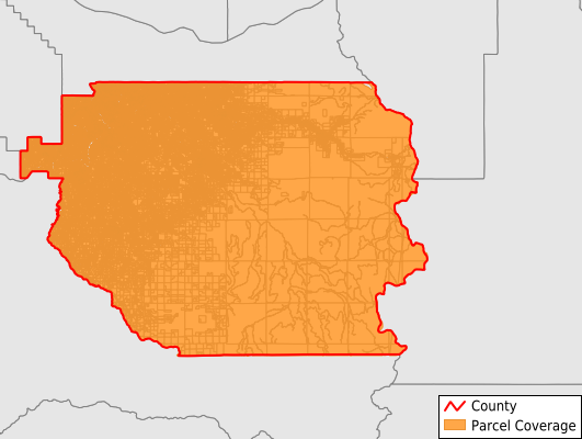
Clackamas County
Parcel Data
Price: $250.00
Last Updated:
2025-Q1
Parcels in County:
162,502
Parcel data available to download as a GDB, GeoPackage, Shapefile, Excel, CSV, or Google Earth KML file.
All purchased data comes with six months of access, including any updates, at no additional cost.
Key attribute coverage for Clackamas County
The percentage of Clackamas County parcels containing the following key attributes:
Owner: 99.9%
Parcel Number: 100%
Acreage (Calculated): 100%
Site Address: 99.9%
Mailing Address: 99.9%
All available attributes in Clackamas County
Parcel Number
Site Address
Owner
Transfer Date
Sale Price
Building Size
Land Use Code
Land Use Class
Acreage (calculated)
Perimeter
Municipality
School District
Zip Code
Flood Zone
Flood Zone Subtype
Census Tract
Census Block Group
Census Block
Land Market Value
Mail Address1
Mail Address3
Legal Desc1
Year Built
Buildings
Addr Sec Unit Num
Place Gnis Code
Land Cover
Elevation
Owner Occupied
Robust Id
Usps Residential
Alt Id 1
Alt Id 2
Plss Description
Plss Township
Plss Range
Plss Section
Crop Cover
Acreage Adjacent With Sameowner
Municipalities Respresented in Clackamas County
Beavercreek CCD: 3,177
Canby CCD: 6,858
Colton CCD: 2,655
Estacada CCD: 8,623
Molalla CCD: 5,879
Mount Hood CCD: 9,777
Mulino CCD: 2,428
Northwest Clackamas CCD: 97,539
Redland CCD: 3,267
Sandy CCD: 9,399
Wilsonville CCD: 9,649
Yoder CCD: 3,251
Save money when you buy data in bulk
We offer discounted pricing on county and state downloads.