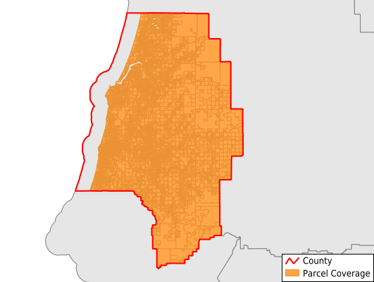
Coos County
Parcel Data
Price: $250.00
Last Updated:
2024-Q4
Parcels in County:
42,401
Parcel data available to download as a GDB, GeoPackage, Shapefile, Excel, CSV, or Google Earth KML file.
All purchased data comes with six months of access, including any updates, at no additional cost.
Key attribute coverage for Coos County
The percentage of Coos County parcels containing the following key attributes:
Owner: 100%
Parcel Number: 100%
Acreage (Calculated): 100%
Site Address: 67.3%
Mailing Address: 100%
All available attributes in Coos County
Parcel Number
Site Address
Owner
Sale Price
Acreage (deeded)
Acreage (calculated)
Perimeter
Municipality
School District
Zip Code
Flood Zone
Flood Zone Subtype
Census Tract
Census Block Group
Census Block
Land Market Value
Building Market Value
Mail Address1
Mail Address3
Year Built
Total Rooms
Bedrooms
Fullbath
Buildings
Addr Sec Unit Num
Place Gnis Code
Land Cover
Elevation
Owner Occupied
Robust Id
Usps Residential
Alt Id 1
Plss Description
Plss Township
Plss Range
Plss Section
Crop Cover
Acreage Adjacent With Sameowner
Municipalities Respresented in Coos County
Bandon CCD: 6,033
Coos Bay CCD: 16,547
Coquille CCD: 5,139
Eastside CCD: 4,609
Myrtle Point CCD: 4,072
North Bayside CCD: 4,955
Powers CCD: 1,046
Save money when you buy data in bulk
We offer discounted pricing on county and state downloads.