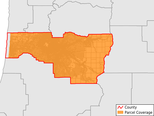
Lane County
Parcel Data
Price: $200.00
Last Updated:
2025-Q1
Parcels in County:
158,749
Parcel data available to download as a GDB, GeoPackage, Shapefile, Excel, CSV, or Google Earth KML file.
All purchased data comes with six months of access, including any updates, at no additional cost.
Key attribute coverage for Lane County
The percentage of Lane County parcels containing the following key attributes:
Owner: 97.6%
Parcel Number: 100%
Acreage (Calculated): 100%
Site Address: 80.1%
Mailing Address: 97.6%
All available attributes in Lane County
Parcel Number
Site Address
Owner
Neighborhood Code
Land Use Code
Land Use Class
Acreage (calculated)
Perimeter
Municipality
School District
Zip Code
Flood Zone
Flood Zone Subtype
Census Tract
Census Block Group
Census Block
Mail Address1
Mail Address2
Mail Address3
Buildings
Addr Sec Unit Num
Place Gnis Code
Land Cover
Elevation
Owner Occupied
Robust Id
Usps Residential
Alt Id 1
Plss Description
Plss Township
Plss Range
Plss Section
Crop Cover
Acreage Adjacent With Sameowner
Municipalities Respresented in Lane County
Badger Mountain CCD: 6,777
Coburg CCD: 1,532
Cottage Grove CCD: 10,032
Creswell CCD: 4,399
Eugene-Springfield CCD: 94,597
Junction City CCD: 6,313
Lowell CCD: 3,290
McKenzie River CCD: 4,674
Marcola CCD: 3,297
Middle Siuslaw River-Triangle Lake CCD: 2,738
Florence CCD: 10,659
Oakridge CCD: 3,114
Pleasant Hill CCD: 2,711
Dunes City CCD: 2,846
Upper Siuslaw River CCD: 1,770
Save money when you buy data in bulk
We offer discounted pricing on county and state downloads.