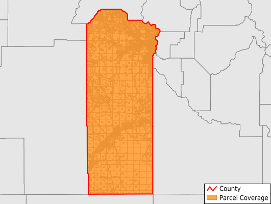
Malheur County
Parcel Data
Price: $200.00
Last Updated:
2024-Q3
Parcels in County:
23,014
Parcel data available to download as a GDB, GeoPackage, Shapefile, Excel, CSV, or Google Earth KML file.
All purchased data comes with six months of access, including any updates, at no additional cost.
Key attribute coverage for Malheur County
The percentage of Malheur County parcels containing the following key attributes:
Owner: 89%
Parcel Number: 100%
Acreage (Calculated): 100%
Site Address: 100%
Mailing Address: 89%
All available attributes in Malheur County
Parcel Number
Site Address
Owner
Sale Price
Building Size
Land Use Code
Land Use Class
Zoning
Acreage (deeded)
Acreage (calculated)
Perimeter
Municipality
School District
Zip Code
Flood Zone
Flood Zone Subtype
Census Tract
Census Block Group
Census Block
Land Market Value
Building Market Value
Mail Name
Mail Address1
Mail Address3
Year Built
Addr Sec Unit Num
Place Gnis Code
Land Cover
Elevation
Owner Occupied
Robust Id
Usps Residential
Plss Description
Plss Township
Plss Range
Plss Section
Crop Cover
Acreage Adjacent With Sameowner
Municipalities Respresented in Malheur County
Adrian CCD: 911
Brogan CCD: 3,099
Dead Ox Flat CCD: 989
Jordan Valley CCD: 3,524
Juntura CCD: 1,665
Malheur Junction CCD: 655
Nyssa CCD: 1,970
Ontario CCD: 6,225
Owyhee CCD: 644
Vale CCD: 2,966
West Bench CCD: 366
Save money when you buy data in bulk
We offer discounted pricing on county and state downloads.