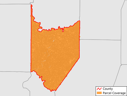
Armstrong County
Parcel Data
Price: $400.00
Last Updated:
2025-Q2
Parcels in County:
41,949
Parcel data available to download as a GDB, GeoPackage, Shapefile, Excel, CSV, or Google Earth KML file.
All purchased data comes with six months of access, including any updates, at no additional cost.
Key attribute coverage for Armstrong County
The percentage of Armstrong County parcels containing the following key attributes:
Owner: 99.6%
Parcel Number: 100%
Acreage (Calculated): 100%
Site Address: 88.1%
Mailing Address: 99.6%
All available attributes in Armstrong County
Parcel Number
Site Address
Owner
Acreage (deeded)
Acreage (calculated)
Perimeter
Municipality
School District
Zip Code
Census Tract
Census Block Group
Census Block
Mail Address1
Buildings
Place Gnis Code
Land Cover
Elevation
Owner Occupied
Robust Id
Usps Residential
Crop Cover
Acreage Adjacent With Sameowner
Municipalities Respresented in Armstrong County
Applewold Borough: 128
Dayton Borough: 315
Atwood Borough: 75
South Bethlehem Borough: 251
West Kittanning Borough: 626
Kittanning Borough: 1,653
East Franklin Township: 2,369
Cowanshannock Township: 1,955
North Buffalo Township: 1,619
Mahoning Township: 1,245
Freeport Borough: 827
Rayburn Township: 1,035
Parks Township: 1,561
South Buffalo Township: 1,754
Parker City: 461
Valley Township: 430
Worthington Borough: 354
Kiskiminetas Township: 2,723
Rural Valley Borough: 499
Hovey Township: 135
Burrell Township: 517
Sugarcreek Township: 886
Leechburg Borough: 1,087
Wayne Township: 898
Plumcreek Township: 1,353
Apollo Borough: 801
Perry Township: 531
Pine Township: 339
Washington Township: 894
Bradys Bend Township: 886
Kittanning Township: 1,277
Ford City Borough: 1,527
Ford Cliff Borough: 188
West Franklin Township: 1,082
Redbank Township: 976
Madison Township: 909
Boggs Township: 651
Manorville Borough: 190
Bethel Township: 944
Gilpin Township: 1,728
North Apollo Borough: 673
South Bend Township: 733
Cadogan Township: 237
Elderton Borough: 202
Manor Township: 2,424
Save money when you buy data in bulk
We offer discounted pricing on county and state downloads.