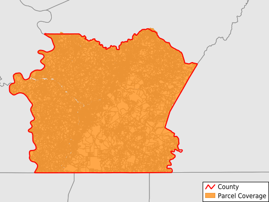
Fayette County
Parcel Data
Price: $250.00
Last Updated:
2025-Q2
Parcels in County:
77,935
Parcel data available to download as a GDB, GeoPackage, Shapefile, Excel, CSV, or Google Earth KML file.
All purchased data comes with six months of access, including any updates, at no additional cost.
Key attribute coverage for Fayette County
The percentage of Fayette County parcels containing the following key attributes:
Owner: 99.6%
Parcel Number: 100%
Acreage (Calculated): 100%
Site Address: 99.5%
Mailing Address: 99.5%
All available attributes in Fayette County
Parcel Number
Site Address
Owner
Transfer Date
Sale Price
Acreage (calculated)
Perimeter
Municipality
School District
Zip Code
Flood Zone
Flood Zone Subtype
Census Tract
Census Block Group
Census Block
Mail Address1
Mail Address2
Mail Address3
Legal Desc1
Legal Desc2
Buildings
Addr Sec Unit Num
Place Gnis Code
Land Cover
Elevation
Owner Occupied
Robust Id
Usps Residential
Crop Cover
Acreage Adjacent With Sameowner
Flood Zones
Nearest Transmission Line Dist Ft
Nearest Substation Dist Ft
Derived Geom Properties
Municipalities Respresented in Fayette County
Markleysburg Borough: 140
Seven Springs Borough: 3
Dawson Borough: 246
Springhill Township: 1,828
Brownsville Borough: 1,556
Everson Borough: 365
South Connellsville Borough: 1,132
German Township: 3,352
Saltlick Township: 2,406
North Union Township: 6,336
Smithfield Borough: 442
Wharton Township: 2,596
Brownsville Township: 536
Dunbar Township: 4,247
Redstone Township: 3,667
Henry Clay Township: 1,884
Bullskin Township: 4,843
Luzerne Township: 2,844
Belle Vernon Borough: 481
Washington Township: 2,188
Fairchance Borough: 976
Masontown Borough: 1,749
Newell Borough: 369
Georges Township: 3,640
Lower Tyrone Township: 693
Perry Township: 1,632
Stewart Township: 643
Point Marion Borough: 673
Perryopolis Borough: 905
Connellsville Township: 1,362
Jefferson Township: 1,216
Upper Tyrone Township: 1,085
Nicholson Township: 1,219
Ohiopyle Borough: 81
Fayette City Borough: 346
Vanderbilt Borough: 273
Dunbar Borough: 581
Menallen Township: 2,464
Franklin Township: 1,567
Uniontown City: 4,641
South Union Township: 5,343
Springfield Township: 1,899
Connellsville City: 3,428
Save money when you buy data in bulk
We offer discounted pricing on county and state downloads.