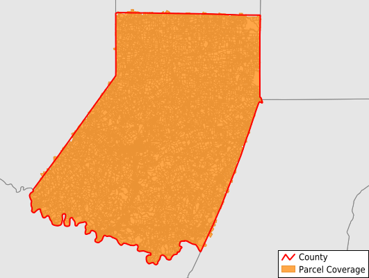
Indiana County
Parcel Data
Price: $250.00
Last Updated:
2024-Q2
Parcels in County:
43,993
Parcel data available to download as a GDB, GeoPackage, Shapefile, Excel, CSV, or Google Earth KML file.
All purchased data comes with six months of access, including any updates, at no additional cost.
Key attribute coverage for Indiana County
The percentage of Indiana County parcels containing the following key attributes:
Owner: 99%
Parcel Number: 100%
Acreage (Calculated): 100%
Site Address: 90.2%
Mailing Address: 98.7%
All available attributes in Indiana County
Parcel Number
Site Address
Owner
Transfer Date
Sale Price
Building Size
Neighborhood Code
Land Use Code
Land Use Class
Acreage (deeded)
Acreage (calculated)
Perimeter
Municipality
School District
Zip Code
Flood Zone
Flood Zone Subtype
Census Tract
Census Block Group
Census Block
Mail Name
Mail Address1
Mail Address2
Mail Address3
Water
Sewer
Addr Sec Unit Num
Place Gnis Code
Land Cover
Elevation
Owner Occupied
Robust Id
Usps Residential
Alt Id 1
Alt Id 2
Crop Cover
Acreage Adjacent With Sameowner
Municipalities Respresented in Indiana County
Ernest Borough: 236
Conemaugh Township: 1,438
Plumville Borough: 239
Creekside Borough: 203
Cherry Tree Borough: 217
Armagh Borough: 60
Shelocta Borough: 72
Smicksburg Borough: 60
Armstrong Township: 1,505
South Mahoning Township: 824
North Mahoning Township: 790
Cherryhill Township: 1,674
East Wheatfield Township: 1,446
East Mahoning Township: 618
Black Lick Township: 751
Center Township: 2,765
Green Township: 2,416
Young Township: 1,189
Pine Township: 1,388
Montgomery Township: 1,069
White Township: 5,759
Rayne Township: 1,709
Washington Township: 957
Buffington Township: 863
Grant Township: 643
Burrell Township: 2,026
Banks Township: 739
Clymer Borough: 958
Saltsburg Borough: 385
Glen Campbell Borough: 260
Marion Center Borough: 248
West Wheatfield Township: 1,428
Brush Valley Township: 1,163
Blairsville Borough: 1,772
Canoe Township: 1,083
West Mahoning Township: 529
Homer City Borough: 906
Indiana Borough: 3,605
Save money when you buy data in bulk
We offer discounted pricing on county and state downloads.