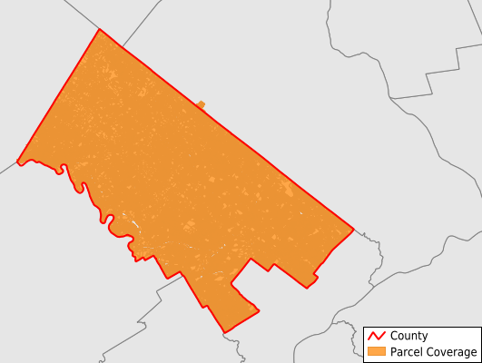
Montgomery County
Parcel Data
Price: $250.00
Last Updated:
2024-Q3
Parcels in County:
308,575
Parcel data available to download as a GDB, GeoPackage, Shapefile, Excel, CSV, or Google Earth KML file.
All purchased data comes with six months of access, including any updates, at no additional cost.
Key attribute coverage for Montgomery County
The percentage of Montgomery County parcels containing the following key attributes:
Owner: 97.4%
Parcel Number: 97.4%
Acreage (Calculated): 100%
Site Address: 97.4%
Mailing Address: 97.4%
All available attributes in Montgomery County
Parcel Number
Site Address
Owner
Transfer Date
Building Size
Neighborhood Code
Acreage (deeded)
Acreage (calculated)
Perimeter
Municipality
School District
Zip Code
Flood Zone
Flood Zone Subtype
Census Tract
Census Block Group
Census Block
Total Market Value
Story Height
Mail Name
Mail Address1
Mail Address2
Mail Address3
Legal Desc1
Legal Desc2
Legal Desc3
Year Built
Exterior
Style
Bedrooms
Fullbath
Halfbath
Buildings
Condition
Addr Sec Unit Num
Place Gnis Code
Land Cover
Elevation
Owner Occupied
Robust Id
Usps Residential
Alt Id 2
Crop Cover
Acreage Adjacent With Sameowner
Municipalities Respresented in Montgomery County
Montgomery Township: 10,404
East Norriton Township: 5,767
Horsham Township: 10,047
Plymouth Township: 6,535
Lower Providence Township: 9,580
Marlborough Township: 1,771
Perkiomen Township: 3,320
Towamencin Township: 6,454
Lower Salford Township: 5,635
Limerick Township: 8,212
Collegeville Borough: 1,477
West Pottsgrove Township: 1,706
Upper Dublin Township: 10,130
Upper Frederick Township: 1,465
Upper Hanover Township: 3,848
Ambler Borough: 2,168
Lower Frederick Township: 2,291
Springfield Township: 7,570
Norristown Borough: 10,350
Royersford Borough: 1,610
New Hanover Township: 5,290
Telford Borough: 1,585
Lower Gwynedd Township: 4,266
Whitemarsh Township: 7,124
Lower Pottsgrove Township: 4,982
Conshohocken Borough: 3,370
Douglass Township: 4,524
Upper Pottsgrove Township: 2,643
East Greenville Borough: 1,143
Cheltenham Township: 11,008
Lansdale Borough: 5,580
Bryn Athyn Borough: 425
West Norriton Township: 6,652
Green Lane Borough: 229
Upper Salford Township: 1,380
Whitpain Township: 7,334
Jenkintown Borough: 1,390
Lower Moreland Township: 4,827
Hatfield Township: 7,700
Upper Moreland Township: 7,975
Franconia Township: 5,151
Schwenksville Borough: 403
Hatfield Borough: 1,046
Lower Merion Township: 18,906
Worcester Township: 4,182
Pottstown Borough: 8,699
Salford Township: 1,324
Upper Gwynedd Township: 7,104
Trappe Borough: 1,646
Abington Township: 20,870
Upper Merion Township: 10,875
Red Hill Borough: 1,000
Pennsburg Borough: 1,325
Narberth Borough: 1,508
Skippack Township: 4,868
Souderton Borough: 2,388
North Wales Borough: 1,305
Hatboro Borough: 2,793
West Conshohocken Borough: 904
Upper Providence Township: 9,517
Rockledge Borough: 959
Bridgeport Borough: 2,035
Save money when you buy data in bulk
We offer discounted pricing on county and state downloads.