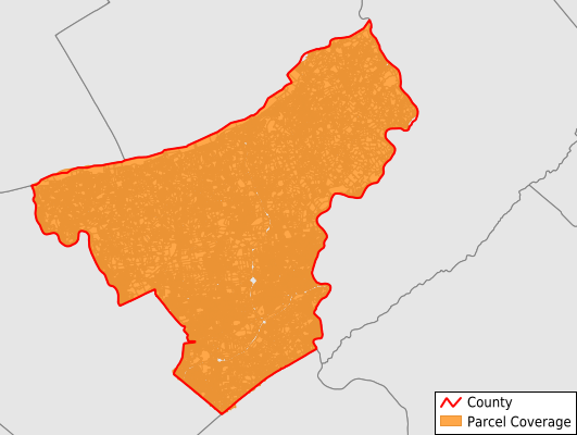
Northampton County
Parcel Data
Price: $200.00
Last Updated:
2024-Q3
Parcels in County:
122,545
Parcel data available to download as a GDB, GeoPackage, Shapefile, Excel, CSV, or Google Earth KML file.
All purchased data comes with six months of access, including any updates, at no additional cost.
Key attribute coverage for Northampton County
The percentage of Northampton County parcels containing the following key attributes:
Owner: 99.9%
Parcel Number: 100%
Acreage (Calculated): 100%
Site Address: 99.9%
Mailing Address: 99.9%
All available attributes in Northampton County
Parcel Number
Site Address
Owner
Transfer Date
Sale Price
Building Size
Neighborhood Code
Land Use Code
Land Use Class
Acreage (deeded)
Acreage (calculated)
Perimeter
Municipality
School District
Zip Code
Flood Zone
Flood Zone Subtype
Census Tract
Census Block Group
Census Block
Total Market Value
Land Market Value
Building Market Value
Mail Address1
Mail Address2
Mail Address3
Total Rooms
Buildings
Addr Sec Unit Num
Place Gnis Code
Land Cover
Elevation
Owner Occupied
Robust Id
Usps Residential
Alt Id 1
Crop Cover
Acreage Adjacent With Sameowner
Municipalities Respresented in Northampton County
Bangor Borough: 2,040
Williams Township: 3,241
Roseto Borough: 759
Nazareth Borough: 2,013
North Catasauqua Borough: 1,317
Tatamy Borough: 530
Washington Township: 2,583
Pen Argyl Borough: 1,439
Forks Township: 6,768
Portland Borough: 284
Palmer Township: 9,262
Stockertown Borough: 382
Freemansburg Borough: 1,032
Lower Nazareth Township: 2,966
Moore Township: 4,268
Northampton Borough: 4,163
Bushkill Township: 3,803
East Allen Township: 2,329
Wind Gap Borough: 1,005
Hellertown Borough: 2,384
Bethlehem Township: 10,080
Bath Borough: 1,010
Lower Saucon Township: 5,167
Walnutport Borough: 933
Easton City: 8,527
Lehigh Township: 4,914
Allen Township: 2,444
East Bangor Borough: 459
Chapman Borough: 109
Upper Mount Bethel Township: 3,610
Lower Mount Bethel Township: 1,839
Hanover Township: 4,566
Plainfield Township: 3,091
West Easton Borough: 580
Wilson Borough: 2,914
Bethlehem City: 17,103
Glendon Borough: 185
Upper Nazareth Township: 2,446
Save money when you buy data in bulk
We offer discounted pricing on county and state downloads.