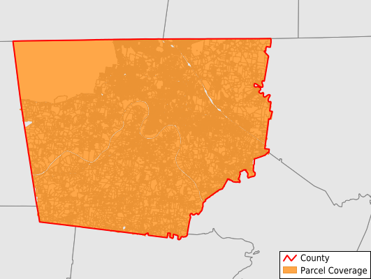
Montgomery County
Parcel Data
Price: $250.00
Last Updated:
2024-Q3
Parcels in County:
93,343
Parcel data available to download as a GDB, GeoPackage, Shapefile, Excel, CSV, or Google Earth KML file.
All purchased data comes with six months of access, including any updates, at no additional cost.
Key attribute coverage for Montgomery County
The percentage of Montgomery County parcels containing the following key attributes:
Owner: 99.9%
Parcel Number: 100%
Acreage (Calculated): 100%
Site Address: 99.9%
Mailing Address: 99.9%
All available attributes in Montgomery County
Parcel Number
Site Address
Owner
Transfer Date
Sale Price
Building Size
Neighborhood Code
Land Use Code
Land Use Class
Zoning
Acreage (deeded)
Acreage (calculated)
Perimeter
Municipality
School District
Zip Code
Flood Zone
Flood Zone Subtype
Census Tract
Census Block Group
Census Block
Mail Address1
Mail Address3
Year Built
Exterior
Total Rooms
Bedrooms
Fullbath
Buildings
Addr Sec Unit Num
Place Gnis Code
Land Cover
Elevation
Owner Occupied
Robust Id
Usps Residential
Alt Id 1
Alt Id 2
Crop Cover
Acreage Adjacent With Sameowner
Municipalities Respresented in Montgomery County
District 19: 8,324
District 2: 4,701
District 20: 4,227
District 4: 4,760
District 21: 3,949
District 3: 5,119
District 1: 4,483
District 10: 4,069
District 11: 3,221
District 12: 4,410
District 13: 3,850
District 14: 4,026
District 15: 5,399
District 16: 3,537
District 17: 4,206
District 18: 4,215
District 5: 4,000
District 6: 5,048
District 7: 4,811
District 8: 2,580
District 9: 4,408
Save money when you buy data in bulk
We offer discounted pricing on county and state downloads.