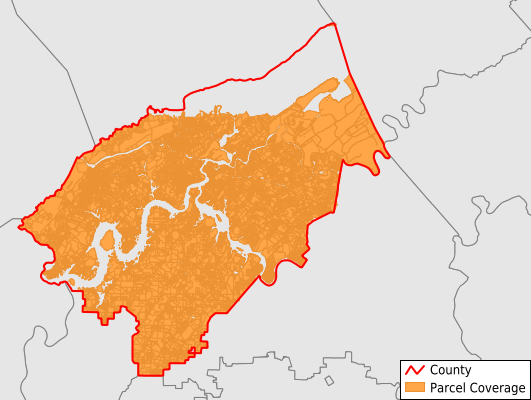
Roane County
Parcel Data
Price: $250.00
Last Updated:
2024-Q3
Parcels in County:
29,204
Parcel data available to download as a GDB, GeoPackage, Shapefile, Excel, CSV, or Google Earth KML file.
All purchased data comes with six months of access, including any updates, at no additional cost.
Key attribute coverage for Roane County
The percentage of Roane County parcels containing the following key attributes:
Owner: 99.7%
Parcel Number: 100%
Acreage (Calculated): 100%
Site Address: 99.7%
Mailing Address: 99.6%
All available attributes in Roane County
Parcel Number
Site Address
Owner
Transfer Date
Neighborhood Code
Land Use Code
Land Use Class
Zoning
Acreage (deeded)
Acreage (calculated)
Perimeter
Municipality
School District
Zip Code
Flood Zone
Flood Zone Subtype
Census Tract
Census Block Group
Census Block
Story Height
Mail Name
Mail Address1
Mail Address2
Mail Address3
Buildings
Condition
Addr Sec Unit Num
Place Gnis Code
Land Cover
Elevation
Owner Occupied
Robust Id
Usps Residential
Alt Id 1
Crop Cover
Acreage Adjacent With Sameowner
Municipalities Respresented in Roane County
District 2: 4,818
District 4: 92
District 3: 1,049
District 1: 7,612
District 5: 2,696
District 6: 7,168
District 7: 5,769
Save money when you buy data in bulk
We offer discounted pricing on county and state downloads.