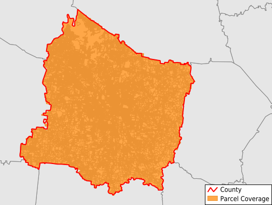
Rutherford County
Parcel Data
Price: $250.00
Last Updated:
2024-Q1
Parcels in County:
124,620
Parcel data available to download as a GDB, GeoPackage, Shapefile, Excel, CSV, or Google Earth KML file.
All purchased data comes with six months of access, including any updates, at no additional cost.
Key attribute coverage for Rutherford County
The percentage of Rutherford County parcels containing the following key attributes:
Owner: 94.1%
Parcel Number: 94.1%
Acreage (Calculated): 100%
Site Address: 100%
Mailing Address: 94.1%
All available attributes in Rutherford County
Parcel Number
Site Address
Owner
Sale Price
Building Size
Zoning
Acreage (deeded)
Acreage (calculated)
Perimeter
Municipality
School District
Zip Code
Flood Zone
Flood Zone Subtype
Census Tract
Census Block Group
Census Block
Total Market Value
Land Market Value
Building Market Value
Story Height
Map Book
Map Page
Mail Address1
Mail Address3
Year Built
Buildings
Addr Sec Unit Num
Place Gnis Code
Land Cover
Elevation
Owner Occupied
Robust Id
Usps Residential
Alt Id 1
Alt Id 2
Crop Cover
Acreage Adjacent With Sameowner
Municipalities Respresented in Rutherford County
District 19: 6,607
District 2: 6,978
District 20: 8,132
District 4: 6,220
District 21: 5,019
District 3: 6,410
District 1: 4,559
District 10: 5,813
District 11: 4,160
District 12: 3,921
District 13: 4,639
District 14: 5,624
District 15: 3,956
District 16: 5,325
District 17: 1,225
District 18: 4,378
District 5: 4,876
District 6: 8,937
District 7: 6,865
District 8: 10,723
District 9: 10,253
Save money when you buy data in bulk
We offer discounted pricing on county and state downloads.