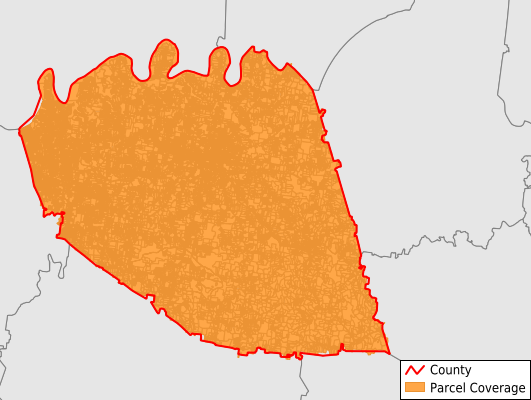
Wilson County
Parcel Data
Price: $250.00
Last Updated:
2024-Q3
Parcels in County:
65,176
Parcel data available to download as a GDB, GeoPackage, Shapefile, Excel, CSV, or Google Earth KML file.
All purchased data comes with six months of access, including any updates, at no additional cost.
Key attribute coverage for Wilson County
The percentage of Wilson County parcels containing the following key attributes:
Owner: 99.2%
Parcel Number: 99.2%
Acreage (Calculated): 100%
Site Address: 89.7%
Mailing Address: 99.1%
All available attributes in Wilson County
Parcel Number
Site Address
Owner
Transfer Date
Sale Price
Land Use Code
Land Use Class
Zoning
Acreage (deeded)
Acreage (calculated)
Perimeter
Municipality
School District
Zip Code
Flood Zone
Flood Zone Subtype
Census Tract
Census Block Group
Census Block
Total Market Value
Land Market Value
Building Market Value
Mail Address1
Mail Address2
Mail Address3
Year Built
Buildings
Addr Sec Unit Num
Place Gnis Code
Land Cover
Elevation
Owner Occupied
Robust Id
Usps Residential
Alt Id 1
Crop Cover
Acreage Adjacent With Sameowner
Municipalities Respresented in Wilson County
District 19: 3,189
District 2: 1,792
District 20: 1,646
District 3: 2,501
District 21: 2,010
District 22: 2,808
District 23: 2,788
District 24: 2,152
District 25: 4,894
District 1: 1,653
District 10: 1,951
District 11: 3,347
District 12: 2,691
District 13: 2,820
District 14: 3,462
District 15: 2,210
District 16: 2,937
District 17: 1,860
District 18: 2,129
District 4: 3,413
District 5: 3,657
District 6: 2,508
District 7: 1,814
District 8: 2,023
District 9: 2,921
Save money when you buy data in bulk
We offer discounted pricing on county and state downloads.