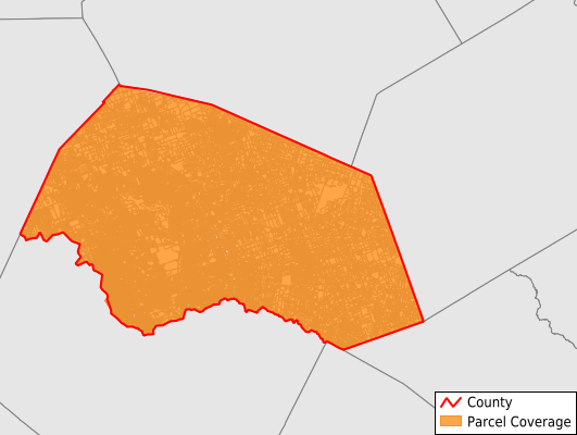
Williamson County
Parcel Data
Price: $200.00
Last Updated:
2025-Q2
Parcels in County:
277,175
Parcel data available to download as a GDB, GeoPackage, Shapefile, Excel, CSV, or Google Earth KML file.
All purchased data comes with six months of access, including any updates, at no additional cost.
Key attribute coverage for Williamson County
The percentage of Williamson County parcels containing the following key attributes:
Owner: 99.3%
Parcel Number: 100%
Acreage (Calculated): 100%
Site Address: 98.7%
Mailing Address: 99.2%
All available attributes in Williamson County
Parcel Number
Site Address
Owner
Neighborhood Code
Acreage (deeded)
Acreage (calculated)
Perimeter
Municipality
School District
Zip Code
Flood Zone
Flood Zone Subtype
Census Tract
Census Block Group
Census Block
Mail Address1
Mail Address3
Legal Desc1
Legal Desc2
Buildings
Addr Sec Unit Num
Place Gnis Code
Land Cover
Elevation
Owner Occupied
Robust Id
Usps Residential
Alt Id 1
Crop Cover
Acreage Adjacent With Sameowner
Municipalities Respresented in Williamson County
Florence CCD: 17,053
Round Rock-Georgetown CCD: 122,355
Granger CCD: 3,642
Jarrell CCD: 15,164
Cedar Park-Liberty Hill CCD: 67,731
Taylor CCD: 51,230
Save money when you buy data in bulk
We offer discounted pricing on county and state downloads.