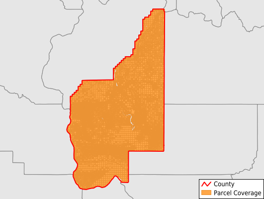
Grant County
Parcel Data
Price: $200.00
Last Updated:
2024-Q3
Parcels in County:
57,161
Parcel data available to download as a GDB, GeoPackage, Shapefile, Excel, CSV, or Google Earth KML file.
All purchased data comes with six months of access, including any updates, at no additional cost.
Key attribute coverage for Grant County
The percentage of Grant County parcels containing the following key attributes:
Owner: 100%
Parcel Number: 100%
Acreage (Calculated): 100%
Site Address: 68.5%
Mailing Address: 100%
All available attributes in Grant County
Parcel Number
Site Address
Owner
Neighborhood Code
Land Use Code
Land Use Class
Acreage (deeded)
Acreage (calculated)
Perimeter
Municipality
School District
Zip Code
Flood Zone
Flood Zone Subtype
Census Tract
Census Block Group
Census Block
Total Market Value
Land Market Value
Mail Address1
Mail Address2
Mail Address3
Water
Buildings
Addr Sec Unit Num
Place Gnis Code
Land Cover
Elevation
Owner Occupied
Robust Id
Usps Residential
Plss Description
Plss Township
Plss Range
Plss Section
Crop Cover
Acreage Adjacent With Sameowner
Municipalities Respresented in Grant County
Coulee City CCD: 3,493
Ephrata-Soap Lake CCD: 11,700
George CCD: 3,512
Gloyd CCD: 1,834
Grand Coulee CCD: 2,235
Moses Lake CCD: 15,151
Quincy CCD: 6,360
Mattawa-Royal City CCD: 8,125
Warden CCD: 2,774
Wilson Creek CCD: 1,977
Save money when you buy data in bulk
We offer discounted pricing on county and state downloads.