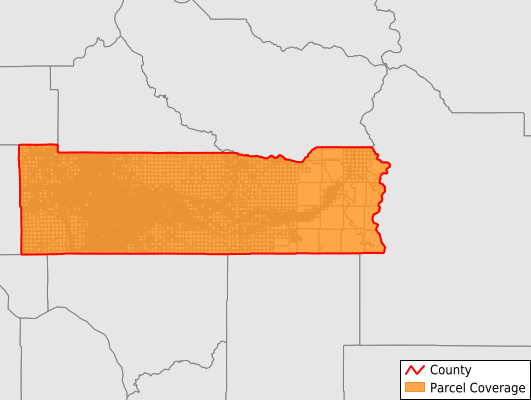
Lewis County
Parcel Data
Price: $200.00
Last Updated:
2025-Q3
Parcels in County:
57,869
Parcel data available to download as a GDB, GeoPackage, Shapefile, Excel, CSV, or Google Earth KML file.
All purchased data comes with six months of access, including any updates, at no additional cost.
Key attribute coverage for Lewis County
The percentage of Lewis County parcels containing the following key attributes:
Owner: 99.4%
Parcel Number: 100%
Acreage (Calculated): 100%
Site Address: 99.4%
Mailing Address: 99.4%
All available attributes in Lewis County
Parcel Number
Site Address
Owner
Land Use Code
Land Use Class
Acreage (deeded)
Acreage (calculated)
Perimeter
Municipality
School District
Zip Code
Flood Zone
Flood Zone Subtype
Census Tract
Census Block Group
Census Block
Total Market Value
Land Market Value
Building Market Value
Mail Address1
Mail Address3
Buildings
Addr Sec Unit Num
Place Gnis Code
Land Cover
Elevation
Owner Occupied
Robust Id
Usps Residential
Alt Id 1
Plss Description
Plss Township
Plss Range
Plss Section
Crop Cover
Acreage Adjacent With Sameowner
Flood Zones
Nearest Transmission Line Dist Ft
Nearest Substation Dist Ft
Derived Geom Properties
Municipalities Respresented in Lewis County
Big Bottom CCD: 5,472
Winlock-Pe Ell CCD: 6,455
Bunker CCD: 3,402
Centralia-Chehalis CCD: 14,298
Ethel CCD: 2,923
Napavine CCD: 3,355
Logan Hill CCD: 3,447
Mineral CCD: 5,407
Morton CCD: 2,902
Mossyrock CCD: 5,178
Newaukum Prairie CCD: 1,812
Toledo-Vader CCD: 3,217
Save money when you buy data in bulk
We offer discounted pricing on county and state downloads.