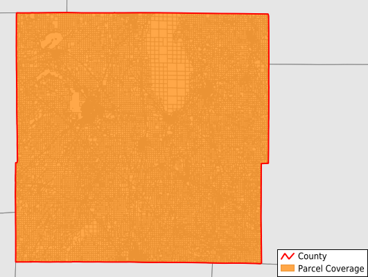
Dodge County
Parcel Data
Price: $200.00
Last Updated:
2025-Q2
Parcels in County:
49,182
Parcel data available to download as a GDB, GeoPackage, Shapefile, Excel, CSV, or Google Earth KML file.
All purchased data comes with six months of access, including any updates, at no additional cost.
Key attribute coverage for Dodge County
The percentage of Dodge County parcels containing the following key attributes:
Owner: 97.5%
Parcel Number: 97.5%
Acreage (Calculated): 100%
Site Address: 75.3%
Mailing Address: 100%
All available attributes in Dodge County
Parcel Number
Site Address
Owner
Acreage (deeded)
Acreage (calculated)
Perimeter
Municipality
School District
Zip Code
Flood Zone
Flood Zone Subtype
Census Tract
Census Block Group
Census Block
Mail Address1
Mail Address2
Mail Address3
Legal Desc1
Legal Desc2
Legal Desc3
Buildings
Place Gnis Code
Land Cover
Elevation
Owner Occupied
Robust Id
Usps Residential
Alt Id 1
Alt Id 2
Plss Description
Plss Township
Plss Range
Plss Section
Crop Cover
Acreage Adjacent With Sameowner
Flood Zones
Nearest Transmission Line Dist Ft
Nearest Substation Dist Ft
Derived Geom Properties
Municipalities Respresented in Dodge County
Clyman Village: 200
Reeseville Village: 319
Columbus City: 3
Lomira Village: 827
Hartford City: 32
Iron Ridge Village: 366
Watertown City: 3,015
Herman Town: 1,018
Hustisford Village: 554
Beaver Dam City: 6,165
Clyman Town: 837
Westford Town: 1,390
Leroy Town: 894
Ashippun Town: 1,708
Burnett Town: 872
Beaver Dam Town: 2,331
Rubicon Town: 1,442
Trenton Town: 1,204
Juneau City: 939
Randolph Village: 635
Lowell Town: 1,436
Theresa Town: 937
Theresa Village: 501
Mayville City: 2,227
Hustisford Town: 1,287
Brownsville Village: 333
Kekoskee Village: 108
Shields Town: 599
Emmet Town: 1,091
Fox Lake Town: 1,666
Portland Town: 1,045
Chester Town: 643
Williamstown Town: 740
Oak Grove Town: 1,068
Neosho Village: 280
Lomira Town: 1,034
Lowell Village: 195
Lebanon Town: 1,321
Fox Lake City: 935
Horicon City: 1,715
Elba Town: 1,017
Waupun City: 1,841
Calamus Town: 885
Hubbard Town: 1,506
Save money when you buy data in bulk
We offer discounted pricing on county and state downloads.