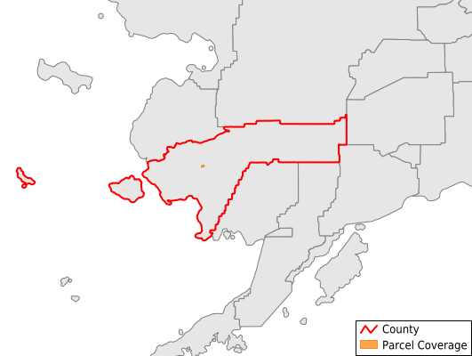
Bethel Census Area
Parcel Data
Price: $200.00
Last Updated:
2025-Q3
Parcels in County:
2,498
Parcel data available to download as a GDB, GeoPackage, Shapefile, Excel, CSV, or Google Earth KML file.
All purchased data comes with six months of access, including any updates, at no additional cost.
Key attribute coverage for Bethel Census Area
The percentage of Bethel Census Area parcels containing the following key attributes:
Owner: 0.3%
Parcel Number: 0.2%
Acreage (Calculated): 100%
Site Address: 0%
Mailing Address: 0%
All available attributes in Bethel Census Area
Parcel Number
Owner
Land Use Code
Acreage (deeded)
Acreage (calculated)
Perimeter
Census Block Group
Census Block
Buildings
Elevation
Robust Id
Acreage Adjacent With Sameowner
Nearest Transmission Line Dist Ft
Nearest Substation Dist Ft
Derived Geom Properties
Municipalities Respresented in Bethel Census Area
Aniak Census Subarea: 0
Lower Kuskokwim Census Subarea: 2,498
Save money when you buy data in bulk
We offer discounted pricing on county and state downloads.