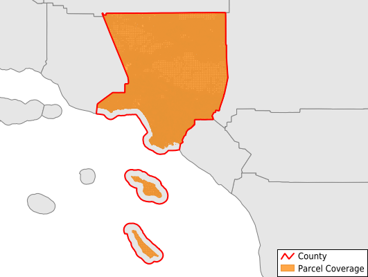
Los Angeles County
Parcel Data
Price: $400.00
Last Updated:
2025-Q4
Parcels in County:
2,429,699
Parcel data available to download as a GDB, GeoPackage, Shapefile, Excel, CSV, or Google Earth KML file.
All purchased data comes with six months of access, including any updates, at no additional cost.
Key attribute coverage for Los Angeles County
The percentage of Los Angeles County parcels containing the following key attributes:
Owner: 99.7%
Parcel Number: 100%
Acreage (Calculated): 100%
Site Address: 94.6%
Mailing Address: 99.7%
All available attributes in Los Angeles County
Parcel Number
Site Address
Owner
Transfer Date
Sale Price
Building Size
Land Use Code
Land Use Class
Acreage (calculated)
Perimeter
Municipality
School District
Zip Code
Flood Zone
Flood Zone Subtype
Census Tract
Census Block Group
Census Block
Land Market Value
Building Market Value
Mail Address1
Mail Address3
Legal Desc1
Legal Desc2
Legal Desc3
Year Built
Bedrooms
Total Bath
Buildings
Addr Sec Unit Num
Place Gnis Code
Land Cover
Elevation
Owner Occupied
Robust Id
Usps Residential
Alt Id 1
Plss Description
Plss Township
Plss Range
Plss Section
Crop Cover
Acreage Adjacent With Sameowner
Flood Zones
Nearest Transmission Line Dist Ft
Nearest Substation Dist Ft
Derived Geom Properties
Municipalities Respresented in Los Angeles County
Compton CCD: 75,339
Downey-Norwalk CCD: 89,575
East San Gabriel Valley CCD: 246,877
Inglewood CCD: 70,342
Long Beach-Lakewood CCD: 138,485
Los Angeles CCD: 505,615
Newhall CCD: 91,180
North Antelope Valley CCD: 112,572
Palos Verdes CCD: 33,137
Pasadena CCD: 83,672
Santa Monica CCD: 23,539
South Antelope Valley CCD: 88,172
South Bay Cities CCD: 47,593
South Gate-East Los Angeles CCD: 75,674
Southwest San Gabriel Valley CCD: 76,564
Torrance CCD: 40,806
Upper San Gabriel Valley CCD: 80,349
Whittier CCD: 84,290
Agoura Hills-Malibu CCD: 31,463
San Fernando Valley CCD: 434,452
Save money when you buy data in bulk
We offer discounted pricing on county and state downloads.