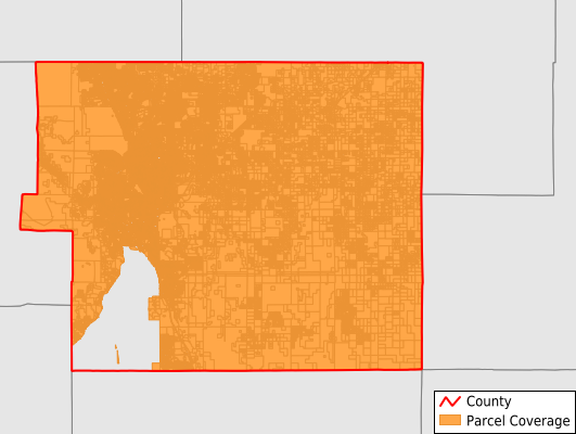
El Paso County
Parcel Data
Price: $200.00
Last Updated:
2025-Q1
Parcels in County:
274,543
Parcel data available to download as a GDB, GeoPackage, Shapefile, Excel, CSV, or Google Earth KML file.
All purchased data comes with six months of access, including any updates, at no additional cost.
Key attribute coverage for El Paso County
The percentage of El Paso County parcels containing the following key attributes:
Owner: 99%
Parcel Number: 100%
Acreage (Calculated): 100%
Site Address: 99%
Mailing Address: 99%
All available attributes in El Paso County
Parcel Number
Site Address
Owner
Transfer Date
Sale Price
Zoning
Acreage (deeded)
Acreage (calculated)
Perimeter
Municipality
School District
Zip Code
Flood Zone
Census Tract
Census Block Group
Census Block
Land Market Value
Mail Address1
Mail Address3
Legal Desc1
Year Built
Style
Total Rooms
Bedrooms
Total Bath
Buildings
Addr Sec Unit Num
Place Gnis Code
Land Cover
Elevation
Owner Occupied
Robust Id
Usps Residential
Plss Description
Plss Township
Plss Range
Plss Section
Crop Cover
Acreage Adjacent With Sameowner
Municipalities Respresented in El Paso County
Black Forest-Peyton CCD: 46,277
Cheyenne Mountain CCD: 4,279
Colorado Springs CCD: 140,378
Elsmere CCD: 32,810
Fountain CCD: 28,136
Monument CCD: 8,554
Pikes Peak CCD: 2,793
Southeastern El Paso CCD: 11,316
Save money when you buy data in bulk
We offer discounted pricing on county and state downloads.