Last Updated:
2025-Q2
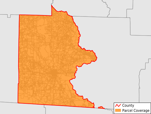
Parcels in County:
10,019
Parcel data available to download as a GDB, GeoPackage, Shapefile, Excel, CSV, or Google Earth KML file.
All purchased data comes with six months of access, including any updates, at no additional cost.
Key attribute coverage for Brooks County
The percentage of Brooks County parcels containing the following key attributes:
Owner: 99.8%
Parcel Number: 99.8%
Acreage (Calculated): 100%
Site Address: 98.8%
Mailing Address: 100%
All available attributes in Brooks County
Parcel Number
Site Address
Owner
Neighborhood Code
Land Use Code
Land Use Class
Zoning
Acreage (deeded)
Acreage (calculated)
Perimeter
Municipality
School District
Zip Code
Flood Zone
Flood Zone Subtype
Census Tract
Census Block Group
Census Block
Mail Address1
Mail Address2
Mail Address3
Legal Desc1
Place Gnis Code
Land Cover
Elevation
Owner Occupied
Robust Id
Usps Residential
Crop Cover
Acreage Adjacent With Sameowner
Flood Zones
Nearest Transmission Line Dist Ft
Nearest Substation Dist Ft
Derived Geom Properties
Municipalities Respresented in Brooks County
Barney CCD: 655
Barwick-Pavo CCD: 1,245
Dixie CCD: 1,193
Empress CCD: 697
Morven CCD: 2,334
Quitman CCD: 3,887
Save money when you buy data in bulk
We offer discounted pricing on county and state downloads.