Last Updated:
2025-Q3
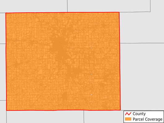
Parcels in County:
37,805
Parcel data available to download as a GDB, GeoPackage, Shapefile, Excel, CSV, or Google Earth KML file.
All purchased data comes with six months of access, including any updates, at no additional cost.
Key attribute coverage for Grant County
The percentage of Grant County parcels containing the following key attributes:
Owner: 97.1%
Parcel Number: 99.9%
Acreage (Calculated): 100%
Site Address: 96.9%
Mailing Address: 97.1%
All available attributes in Grant County
Parcel Number
Site Address
Owner
Transfer Date
Sale Price
Neighborhood Code
Land Use Code
Land Use Class
Acreage (deeded)
Acreage (calculated)
Perimeter
Municipality
School District
Zip Code
Flood Zone
Flood Zone Subtype
Census Tract
Census Block Group
Census Block
Total Market Value
Land Market Value
Building Market Value
Routing Num
Mail Address1
Mail Address3
Legal Desc1
Buildings
Addr Sec Unit Num
Place Gnis Code
Land Cover
Elevation
Owner Occupied
Robust Id
Usps Residential
Alt Id 1
Plss Description
Plss Township
Plss Range
Plss Section
Crop Cover
Acreage Adjacent With Sameowner
Flood Zones
Nearest Transmission Line Dist Ft
Nearest Substation Dist Ft
Derived Geom Properties
Municipalities Respresented in Grant County
Center Township: 10,662
Fairmount Township: 2,678
Franklin Township: 4,314
Green Township: 631
Jefferson Township: 2,678
Liberty Township: 1,062
Mill Township: 5,086
Monroe Township: 1,310
Pleasant Township: 3,508
Richland Township: 795
Sims Township: 1,289
Van Buren Township: 1,333
Washington Township: 2,456
Save money when you buy data in bulk
We offer discounted pricing on county and state downloads.