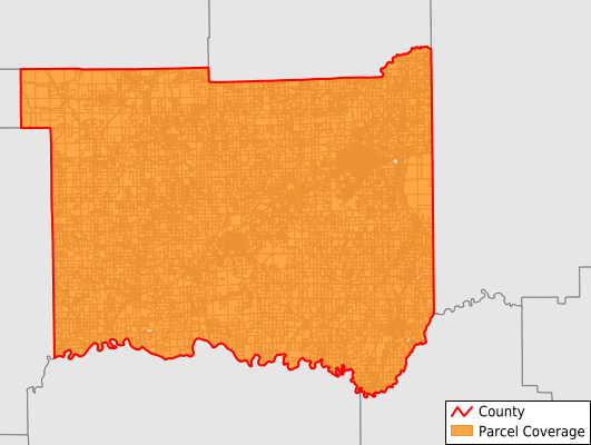
Jackson County
Parcel Data
Price: $200.00
Last Updated:
2025-Q3
Parcels in County:
26,967
Parcel data available to download as a GDB, GeoPackage, Shapefile, Excel, CSV, or Google Earth KML file.
All purchased data comes with six months of access, including any updates, at no additional cost.
Key attribute coverage for Jackson County
The percentage of Jackson County parcels containing the following key attributes:
Owner: 99%
Parcel Number: 99.9%
Acreage (Calculated): 100%
Site Address: 99%
Mailing Address: 99%
All available attributes in Jackson County
Parcel Number
Site Address
Owner
Transfer Date
Neighborhood Code
Land Use Code
Land Use Class
Acreage (deeded)
Acreage (calculated)
Perimeter
Municipality
School District
Zip Code
Flood Zone
Flood Zone Subtype
Census Tract
Census Block Group
Census Block
Total Market Value
Land Market Value
Building Market Value
Mail Address1
Mail Address3
Legal Desc1
Water
Sewer
Buildings
Addr Sec Unit Num
Place Gnis Code
Land Cover
Elevation
Owner Occupied
Robust Id
Usps Residential
Plss Description
Plss Township
Plss Range
Plss Section
Crop Cover
Acreage Adjacent With Sameowner
Flood Zones
Nearest Transmission Line Dist Ft
Nearest Substation Dist Ft
Derived Geom Properties
Municipalities Respresented in Jackson County
Brownstown Township: 3,571
Carr Township: 1,345
Driftwood Township: 843
Grassy Fork Township: 755
Hamilton Township: 1,820
Jackson Township: 8,828
Owen Township: 1,634
Pershing Township: 1,203
Redding Township: 2,893
Salt Creek Township: 502
Vernon Township: 2,479
Washington Township: 1,094
Save money when you buy data in bulk
We offer discounted pricing on county and state downloads.