Last Updated:
2025-Q4
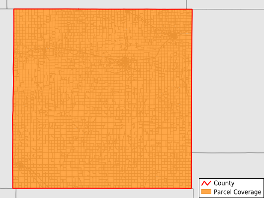
Parcels in County:
6,630
Parcel data available to download as a GDB, GeoPackage, Shapefile, Excel, CSV, or Google Earth KML file.
All purchased data comes with six months of access, including any updates, at no additional cost.
Key attribute coverage for Osborne County
The percentage of Osborne County parcels containing the following key attributes:
Owner: 99.9%
Parcel Number: 100%
Acreage (Calculated): 100%
Site Address: 99.8%
Mailing Address: 99.9%
All available attributes in Osborne County
Parcel Number
Site Address
Owner
Neighborhood Code
Land Use Code
Land Use Class
Acreage (calculated)
Perimeter
Municipality
School District
Zip Code
Census Block Group
Census Block
Mail Address1
Legal Desc1
Addr Sec Unit Num
Place Gnis Code
Land Cover
Elevation
Owner Occupied
Robust Id
Usps Residential
Alt Id 1
Plss Description
Plss Township
Plss Range
Plss Section
Crop Cover
Acreage Adjacent With Sameowner
Nearest Transmission Line Dist Ft
Nearest Substation Dist Ft
Derived Geom Properties
Municipalities Respresented in Osborne County
Sumner Township: 477
Mount Ayr Township: 144
Hawkeye Township: 170
Tilden Township: 223
Kill Creek Township: 139
Lawrence Township: 150
Independence Township: 129
Hancock Township: 142
Bethany Township: 397
Penn Township: 283
Ross Township: 1,045
Corinth Township: 195
Bloom Township: 257
Round Mound Township: 130
Covert Township: 136
Winfield Township: 133
Delhi Township: 205
Natoma Township: 548
Liberty Township: 123
Valley Township: 145
Jackson Township: 143
Victor Township: 122
Osborne City: 1,060
Grant Township: 134
Save money when you buy data in bulk
We offer discounted pricing on county and state downloads.