Last Updated:
2026-Q2
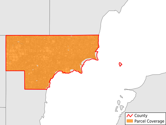
Parcels in County:
18,338
Parcel data available to download as a GDB, GeoPackage, Shapefile, Excel, CSV, or Google Earth KML file.
All purchased data comes with six months of access, including any updates, at no additional cost.
Key attribute coverage for Arenac County
The percentage of Arenac County parcels containing the following key attributes:
Owner: 99.4%
Parcel Number: 100%
Acreage (Calculated): 100%
Site Address: 95.3%
Mailing Address: 99.3%
All available attributes in Arenac County
Parcel Number
Site Address
Owner
Land Use Code
Land Use Class
Acreage (deeded)
Acreage (calculated)
Perimeter
Municipality
School District
Zip Code
Flood Zone
Flood Zone Subtype
Census Tract
Census Block Group
Census Block
Mail Name
Mail Address1
Legal Desc1
Addr Sec Unit Num
Place Gnis Code
Land Cover
Elevation
Owner Occupied
Robust Id
Usps Residential
Plss Description
Plss Township
Plss Range
Plss Section
Crop Cover
Acreage Adjacent With Sameowner
Flood Zones
Nearest Transmission Line Dist Ft
Nearest Substation Dist Ft
Derived Geom Properties
Robust Id Source
Municipalities Respresented in Arenac County
Adams Township: 545
Arenac Township: 955
Au Gres City: 1,523
Au Gres Township: 1,363
Clayton Township: 1,002
Deep River Township: 1,817
Lincoln Township: 734
Mason Township: 755
Moffatt Township: 2,316
Omer City: 280
Sims Township: 2,279
Standish City: 767
Standish Township: 1,707
Turner Township: 719
Whitney Township: 1,576
Save money when you buy data in bulk
We offer discounted pricing on county and state downloads.