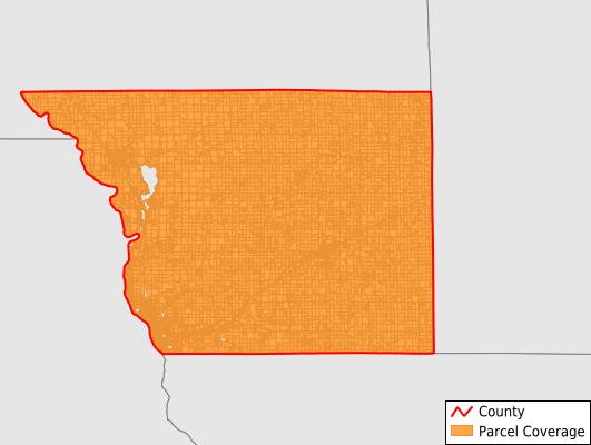
Benton County
Parcel Data
Price: $200.00
Last Updated:
2025-Q3
Parcels in County:
20,279
Parcel data available to download as a GDB, GeoPackage, Shapefile, Excel, CSV, or Google Earth KML file.
All purchased data comes with six months of access, including any updates, at no additional cost.
Key attribute coverage for Benton County
The percentage of Benton County parcels containing the following key attributes:
Owner: 98.4%
Parcel Number: 99.9%
Acreage (Calculated): 100%
Site Address: 74.7%
Mailing Address: 98.1%
All available attributes in Benton County
Parcel Number
Site Address
Owner
Acreage (deeded)
Acreage (calculated)
Perimeter
Municipality
School District
Zip Code
Flood Zone
Flood Zone Subtype
Census Tract
Census Block Group
Census Block
Mail Address1
Mail Address2
Mail Address3
Legal Desc1
Buildings
Addr Sec Unit Num
Place Gnis Code
Land Cover
Elevation
Owner Occupied
Robust Id
Usps Residential
Plss Description
Plss Township
Plss Range
Plss Section
Crop Cover
Acreage Adjacent With Sameowner
Flood Zones
Nearest Transmission Line Dist Ft
Nearest Substation Dist Ft
Derived Geom Properties
Municipalities Respresented in Benton County
Alberta Township: 647
Gilmanton Township: 811
Glendorado Township: 676
Graham Township: 493
Granite Ledge Township: 669
Langola Township: 847
Mayhew Lake Township: 691
Maywood Township: 793
Minden Township: 1,539
St. George Township: 919
Sauk Rapids Township: 377
Watab Township: 2,101
Foley City: 1,140
Gilman City: 131
Rice City: 1,030
Royalton City: 4
St. Cloud City: 2,058
Sartell City: 506
Sauk Rapids City: 4,845
Save money when you buy data in bulk
We offer discounted pricing on county and state downloads.