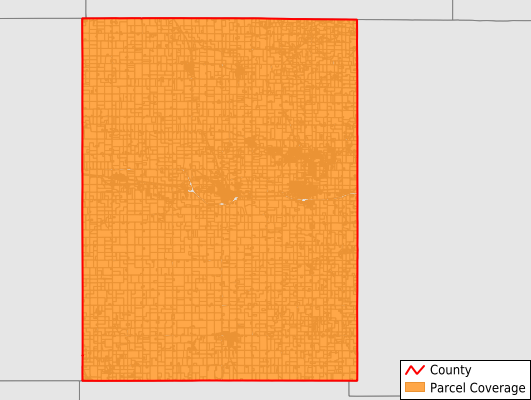
Dodge County
Parcel Data
Price: $200.00
Last Updated:
2025-Q3
Parcels in County:
12,364
Parcel data available to download as a GDB, GeoPackage, Shapefile, Excel, CSV, or Google Earth KML file.
All purchased data comes with six months of access, including any updates, at no additional cost.
Key attribute coverage for Dodge County
The percentage of Dodge County parcels containing the following key attributes:
Owner: 99.5%
Parcel Number: 99.9%
Acreage (Calculated): 100%
Site Address: 70.9%
Mailing Address: 99.5%
All available attributes in Dodge County
Parcel Number
Site Address
Owner
Acreage (calculated)
Perimeter
Municipality
School District
Zip Code
Flood Zone
Flood Zone Subtype
Census Tract
Census Block Group
Census Block
Mail Address1
Mail Address2
Mail Address3
Legal Desc1
Legal Desc2
Legal Desc3
Buildings
Addr Sec Unit Num
Place Gnis Code
Land Cover
Elevation
Owner Occupied
Robust Id
Usps Residential
Plss Description
Plss Township
Plss Range
Plss Section
Crop Cover
Acreage Adjacent With Sameowner
Flood Zones
Nearest Transmission Line Dist Ft
Nearest Substation Dist Ft
Derived Geom Properties
Municipalities Respresented in Dodge County
Westfield Township: 447
Ashland Township: 349
Canisteo Township: 509
Claremont Township: 456
Concord Township: 532
Ellington Township: 324
Hayfield Township: 392
Mantorville Township: 1,176
Milton Township: 676
Ripley Township: 292
Vernon Township: 507
Wasioja Township: 756
Claremont City: 289
Blooming Prairie City: 5
Hayfield City: 677
Dodge Center City: 1,198
Kasson City: 2,744
Mantorville City: 579
West Concord City: 456
Save money when you buy data in bulk
We offer discounted pricing on county and state downloads.