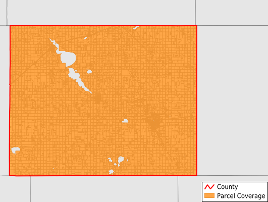
Jackson County
Parcel Data
Price: $200.00
Last Updated:
2025-Q3
Parcels in County:
11,002
Parcel data available to download as a GDB, GeoPackage, Shapefile, Excel, CSV, or Google Earth KML file.
All purchased data comes with six months of access, including any updates, at no additional cost.
Key attribute coverage for Jackson County
The percentage of Jackson County parcels containing the following key attributes:
Owner: 98.2%
Parcel Number: 98.4%
Acreage (Calculated): 100%
Site Address: 50.2%
Mailing Address: 97.9%
All available attributes in Jackson County
Parcel Number
Site Address
Owner
Land Use Code
Land Use Class
Acreage (deeded)
Acreage (calculated)
Perimeter
Municipality
School District
Zip Code
Flood Zone
Flood Zone Subtype
Census Tract
Census Block Group
Census Block
Total Market Value
Land Market Value
Building Market Value
Mail Name
Mail Address1
Mail Address2
Mail Address3
Legal Desc1
Legal Desc2
Legal Desc3
Buildings
Place Gnis Code
Land Cover
Elevation
Owner Occupied
Robust Id
Usps Residential
Plss Description
Plss Township
Plss Range
Plss Section
Crop Cover
Acreage Adjacent With Sameowner
Flood Zones
Nearest Transmission Line Dist Ft
Nearest Substation Dist Ft
Derived Geom Properties
Municipalities Respresented in Jackson County
Alba Township: 318
Belmont Township: 393
Christiania Township: 502
Delafield Township: 378
Des Moines Township: 465
Enterprise Township: 287
Ewington Township: 337
Heron Lake Township: 467
Hunter Township: 400
Kimball Township: 270
La Crosse Township: 321
Middletown Township: 329
Minneota Township: 479
Petersburg Township: 365
Rost Township: 335
Round Lake Township: 286
Sioux Valley Township: 304
Weimer Township: 315
West Heron Lake Township: 253
Wisconsin Township: 371
Alpha City: 143
Heron Lake City: 481
Okabena City: 150
Jackson City: 1,889
Lakefield City: 1,072
Wilder City: 91
Save money when you buy data in bulk
We offer discounted pricing on county and state downloads.