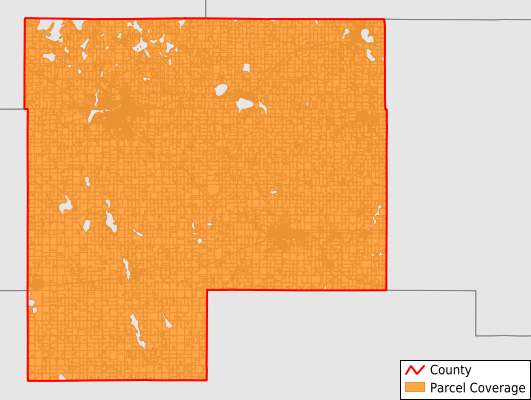
McLeod County
Parcel Data
Price: $200.00
Last Updated:
2025-Q3
Parcels in County:
20,438
Parcel data available to download as a GDB, GeoPackage, Shapefile, Excel, CSV, or Google Earth KML file.
All purchased data comes with six months of access, including any updates, at no additional cost.
Key attribute coverage for McLeod County
The percentage of McLeod County parcels containing the following key attributes:
Owner: 99.9%
Parcel Number: 99.9%
Acreage (Calculated): 100%
Site Address: 72%
Mailing Address: 99.9%
All available attributes in McLeod County
Parcel Number
Site Address
Owner
Land Use Code
Land Use Class
Acreage (calculated)
Perimeter
Municipality
School District
Zip Code
Flood Zone
Flood Zone Subtype
Census Tract
Census Block Group
Census Block
Mail Address1
Mail Address2
Mail Address3
Buildings
Addr Sec Unit Num
Place Gnis Code
Land Cover
Elevation
Owner Occupied
Robust Id
Usps Residential
Plss Description
Plss Township
Plss Range
Plss Section
Crop Cover
Acreage Adjacent With Sameowner
Flood Zones
Nearest Transmission Line Dist Ft
Nearest Substation Dist Ft
Derived Geom Properties
Municipalities Respresented in McLeod County
Acoma Township: 793
Bergen Township: 710
Collins Township: 542
Glencoe Township: 559
Hale Township: 748
Hassan Valley Township: 694
Helen Township: 705
Hutchinson Township: 910
Lynn Township: 490
Penn Township: 371
Rich Valley Township: 641
Round Grove Township: 364
Sumter Township: 546
Winsted Township: 720
Brownton City: 398
Biscay City: 66
Hutchinson City: 5,827
Glencoe City: 2,439
Lester Prairie City: 794
Silver Lake City: 447
Stewart City: 353
Plato City: 223
Winsted City: 1,098
Save money when you buy data in bulk
We offer discounted pricing on county and state downloads.