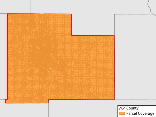
Olmsted County
Parcel Data
Price: $200.00
Last Updated:
2025-Q3
Parcels in County:
75,322
Parcel data available to download as a GDB, GeoPackage, Shapefile, Excel, CSV, or Google Earth KML file.
All purchased data comes with six months of access, including any updates, at no additional cost.
Key attribute coverage for Olmsted County
The percentage of Olmsted County parcels containing the following key attributes:
Owner: 99.6%
Parcel Number: 99.6%
Acreage (Calculated): 100%
Site Address: 99.2%
Mailing Address: 99.6%
All available attributes in Olmsted County
Parcel Number
Site Address
Owner
Land Use Code
Land Use Class
Acreage (calculated)
Perimeter
Municipality
School District
Zip Code
Flood Zone
Flood Zone Subtype
Census Tract
Census Block Group
Census Block
Total Market Value
Land Market Value
Building Market Value
Mail Address1
Mail Address3
Buildings
Place Gnis Code
Land Cover
Elevation
Owner Occupied
Robust Id
Usps Residential
Alt Id 1
Plss Description
Plss Township
Plss Range
Plss Section
Crop Cover
Acreage Adjacent With Sameowner
Flood Zones
Nearest Transmission Line Dist Ft
Nearest Substation Dist Ft
Derived Geom Properties
Municipalities Respresented in Olmsted County
Cascade Township: 1,738
Dover Township: 446
Elmira Township: 401
Eyota Township: 438
Farmington Township: 369
Haverhill Township: 1,138
High Forest Township: 929
Kalmar Township: 984
Marion Township: 2,315
New Haven Township: 1,182
Orion Township: 606
Oronoco Township: 1,759
Pleasant Grove Township: 856
Quincy Township: 360
Rochester Township: 1,410
Rock Dell Township: 573
Salem Township: 805
Viola Township: 500
Byron City: 2,890
Chatfield City: 659
Dover City: 415
Eyota City: 958
Stewartville City: 3,131
Oronoco City: 995
Pine Island City: 481
Rochester City: 48,984
Save money when you buy data in bulk
We offer discounted pricing on county and state downloads.