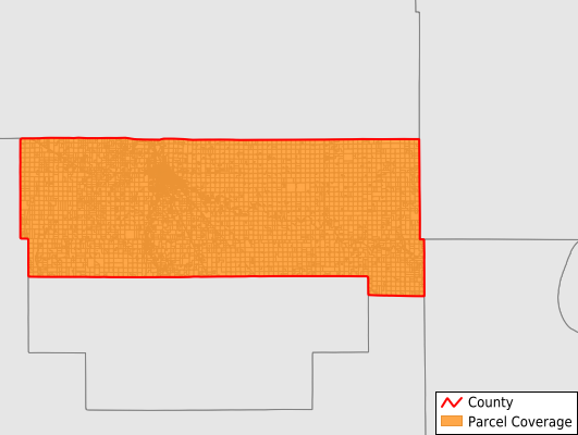
Pennington County
Parcel Data
Price: $200.00
Last Updated:
2025-Q3
Parcels in County:
10,460
Parcel data available to download as a GDB, GeoPackage, Shapefile, Excel, CSV, or Google Earth KML file.
All purchased data comes with six months of access, including any updates, at no additional cost.
Key attribute coverage for Pennington County
The percentage of Pennington County parcels containing the following key attributes:
Owner: 92.4%
Parcel Number: 100%
Acreage (Calculated): 100%
Site Address: 54.7%
Mailing Address: 92.2%
All available attributes in Pennington County
Parcel Number
Site Address
Owner
Acreage (deeded)
Acreage (calculated)
Perimeter
Municipality
School District
Zip Code
Flood Zone
Flood Zone Subtype
Census Tract
Census Block Group
Census Block
Mail Address1
Mail Address2
Mail Address3
Legal Desc1
Buildings
Place Gnis Code
Land Cover
Elevation
Owner Occupied
Robust Id
Usps Residential
Alt Id 1
Plss Description
Plss Township
Plss Range
Plss Section
Crop Cover
Acreage Adjacent With Sameowner
Flood Zones
Nearest Transmission Line Dist Ft
Nearest Substation Dist Ft
Derived Geom Properties
Municipalities Respresented in Pennington County
Black River Township: 141
Bray Township: 217
Cloverleaf Township: 192
Deer Park Township: 170
Goodridge Township: 147
Hickory Township: 272
Highlanding Township: 264
Kratka Township: 253
Mayfield Township: 125
Norden Township: 404
North Township: 676
Numedal Township: 225
Polk Centre Township: 170
Reiner Township: 163
River Falls Township: 239
Rocksbury Township: 996
Sanders Township: 350
Silverton Township: 207
Smiley Township: 495
Star Township: 243
Wyandotte Township: 158
Goodridge City: 164
Thief River Falls City: 3,884
St. Hilaire City: 305
Save money when you buy data in bulk
We offer discounted pricing on county and state downloads.