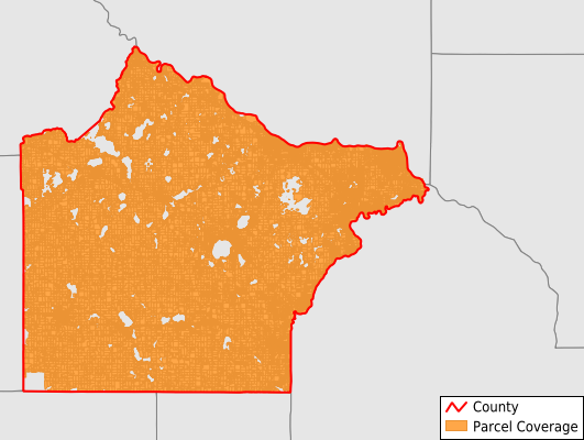
Wright County
Parcel Data
Price: $200.00
Last Updated:
2025-Q3
Parcels in County:
74,822
Parcel data available to download as a GDB, GeoPackage, Shapefile, Excel, CSV, or Google Earth KML file.
All purchased data comes with six months of access, including any updates, at no additional cost.
Key attribute coverage for Wright County
The percentage of Wright County parcels containing the following key attributes:
Owner: 97.1%
Parcel Number: 97.1%
Acreage (Calculated): 100%
Site Address: 79.1%
Mailing Address: 97%
All available attributes in Wright County
Parcel Number
Site Address
Owner
Land Use Code
Land Use Class
Acreage (calculated)
Perimeter
Municipality
School District
Zip Code
Flood Zone
Flood Zone Subtype
Census Tract
Census Block Group
Census Block
Mail Address1
Mail Address2
Mail Address3
Legal Desc1
Year Built
Buildings
Addr Sec Unit Num
Place Gnis Code
Land Cover
Elevation
Owner Occupied
Robust Id
Usps Residential
Plss Description
Plss Township
Plss Range
Plss Section
Crop Cover
Acreage Adjacent With Sameowner
Flood Zones
Nearest Transmission Line Dist Ft
Nearest Substation Dist Ft
Derived Geom Properties
Municipalities Respresented in Wright County
Albion Township: 1,023
Buffalo Township: 1,351
Chatham Township: 732
Clearwater Township: 1,301
Cokato Township: 926
Corinna Township: 2,785
Franklin Township: 1,891
French Lake Township: 1,243
Maple Lake Township: 1,579
Marysville Township: 1,160
Middleville Township: 775
Monticello Township: 1,960
Rockford Township: 1,876
Silver Creek Township: 1,795
Southside Township: 2,001
Stockholm Township: 833
Victor Township: 867
Woodland Township: 799
Buffalo City: 6,802
Clearwater City: 896
Cokato City: 1,275
Albertville City: 3,068
Annandale City: 1,623
Hanover City: 1,614
Howard Lake City: 1,215
Dayton City: 26
Delano City: 3,212
Monticello City: 5,408
Montrose City: 1,682
Maple Lake City: 1,095
South Haven City: 136
Otsego City: 10,090
Rockford City: 1,490
St. Michael City: 9,108
Waverly City: 1,184
Save money when you buy data in bulk
We offer discounted pricing on county and state downloads.