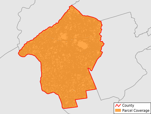
Hunterdon County
Parcel Data
Last Updated:
2025-Q2
Parcels in County:
54,730
Parcel data available to download as a GDB, GeoPackage, Shapefile, Excel, CSV, or Google Earth KML file.
All purchased data comes with six months of access, including any updates, at no additional cost.
Key attribute coverage for Hunterdon County
The percentage of Hunterdon County parcels containing the following key attributes:
Owner: 96%
Parcel Number: 100%
Acreage (Calculated): 100%
Site Address: 95.9%
Mailing Address: 95.9%
All available attributes in Hunterdon County
Parcel Number
Site Address
Owner
Transfer Date
Sale Price
Building Size
Land Use Code
Land Use Class
Zoning
Acreage (calculated)
Perimeter
Municipality
School District
Zip Code
Flood Zone
Flood Zone Subtype
Census Tract
Census Block Group
Census Block
Total Market Value
Land Market Value
Building Market Value
Coowner
Mail Address1
Mail Address3
Legal Desc1
Year Built
Total Rooms
Bedrooms
Buildings
Addr Sec Unit Num
Place Gnis Code
Land Cover
Elevation
Owner Occupied
Robust Id
Usps Residential
Alt Id 1
Alt Id 2
Crop Cover
Acreage Adjacent With Sameowner
Flood Zones
Nearest Transmission Line Dist Ft
Nearest Substation Dist Ft
Derived Geom Properties
Municipalities Respresented in Hunterdon County
Clinton Township: 5,145
Readington Township: 6,833
Raritan Township: 9,034
East Amwell Township: 1,957
West Amwell Township: 1,489
Delaware Township: 2,331
Kingwood Township: 1,981
Franklin Township: 1,490
Holland Township: 2,377
Alexandria Township: 2,150
Union Township: 2,148
Bethlehem Township: 1,778
Tewksbury Township: 2,787
Lebanon Township: 2,822
Bloomsbury Borough: 430
Califon Borough: 539
Clinton Town: 1,080
Flemington Borough: 1,179
Frenchtown Borough: 579
Glen Gardner Borough: 838
Hampton Borough: 591
High Bridge Borough: 1,576
Lambertville City: 2,140
Lebanon Borough: 581
Milford Borough: 585
Stockton Borough: 290
Save money when you buy data in bulk
We offer discounted pricing on county and state downloads.