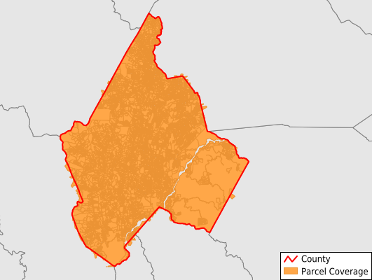
Avery County
Parcel Data
Price: $200.00
Last Updated:
2025-Q4
Parcels in County:
24,458
Parcel data available to download as a GDB, GeoPackage, Shapefile, Excel, CSV, or Google Earth KML file.
All purchased data comes with six months of access, including any updates, at no additional cost.
Key attribute coverage for Avery County
The percentage of Avery County parcels containing the following key attributes:
Owner: 98.9%
Parcel Number: 100%
Acreage (Calculated): 100%
Site Address: 98.2%
Mailing Address: 98.9%
All available attributes in Avery County
Parcel Number
Site Address
Owner
Transfer Date
Neighborhood Code
Acreage (calculated)
Perimeter
Municipality
School District
Zip Code
Flood Zone
Flood Zone Subtype
Census Tract
Census Block Group
Census Block
Total Market Value
Land Market Value
Building Market Value
Mail Name
Mail Address1
Mail Address2
Mail Address3
Legal Desc2
Year Built
Buildings
Addr Sec Unit Num
Place Gnis Code
Land Cover
Elevation
Owner Occupied
Robust Id
Usps Residential
Alt Id 1
Crop Cover
Acreage Adjacent With Sameowner
Flood Zones
Nearest Transmission Line Dist Ft
Nearest Substation Dist Ft
Derived Geom Properties
Municipalities Respresented in Avery County
Altamont Township: 1,460
Banner Elk Township: 6,744
Beech Mountain Township: 1,229
Cranberry Township: 661
Linville Township: 1,710
Roaring Creek Township: 569
Carey'S Flat Township: 601
Elk Park Township: 966
Frank Township: 298
Heaton Township: 570
Hughes Township: 514
Ingalls Township: 1,160
Minneapolis Township: 485
Montezuma Township: 819
Newland No. 1 Township: 1,555
Newland No. 2 Township: 957
Pineola Township: 2,737
Plumtree Township: 856
Pyatte Township: 517
Save money when you buy data in bulk
We offer discounted pricing on county and state downloads.