Last Updated:
2025-Q2
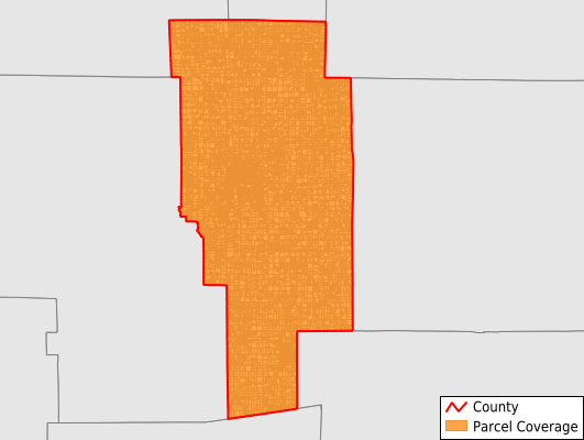
Parcels in County:
35,379
Parcel data available to download as a GDB, GeoPackage, Shapefile, Excel, CSV, or Google Earth KML file.
All purchased data comes with six months of access, including any updates, at no additional cost.
Key attribute coverage for Ashland County
The percentage of Ashland County parcels containing the following key attributes:
Owner: 98.5%
Parcel Number: 100%
Acreage (Calculated): 100%
Site Address: 97.7%
Mailing Address: 100%
All available attributes in Ashland County
Parcel Number
Site Address
Owner
Transfer Date
Sale Price
Neighborhood Code
Land Use Code
Land Use Class
Acreage (deeded)
Acreage (calculated)
Perimeter
Municipality
School District
Zip Code
Flood Zone
Flood Zone Subtype
Census Tract
Census Block Group
Census Block
Total Market Value
Land Market Value
Building Market Value
Mail Name
Mail Address1
Mail Address2
Mail Address3
Legal Desc1
Legal Desc2
Addr Sec Unit Num
Place Gnis Code
Land Cover
Elevation
Owner Occupied
Robust Id
Usps Residential
Alt Id 1
Plss Description
Plss Township
Plss Range
Crop Cover
Acreage Adjacent With Sameowner
Flood Zones
Nearest Transmission Line Dist Ft
Nearest Substation Dist Ft
Derived Geom Properties
Municipalities Respresented in Ashland County
Ashland City: 10,207
Clear Creek Township: 1,498
Green Township: 2,662
Hanover Township: 2,225
Jackson Township: 3,342
Lake Township: 564
Mifflin Township: 1,262
Milton Township: 1,508
Mohican Township: 1,770
Montgomery Township: 1,958
Orange Township: 1,730
Perry Township: 1,417
Ruggles Township: 850
Sullivan Township: 1,599
Troy Township: 887
Vermillion Township: 1,899
Save money when you buy data in bulk
We offer discounted pricing on county and state downloads.