Last Updated:
2025-Q4
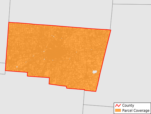
Parcels in County:
66,760
Parcel data available to download as a GDB, GeoPackage, Shapefile, Excel, CSV, or Google Earth KML file.
All purchased data comes with six months of access, including any updates, at no additional cost.
Key attribute coverage for Clark County
The percentage of Clark County parcels containing the following key attributes:
Owner: 98.2%
Parcel Number: 100%
Acreage (Calculated): 100%
Site Address: 98.2%
Mailing Address: 0%
All available attributes in Clark County
Parcel Number
Site Address
Owner
Acreage (deeded)
Acreage (calculated)
Perimeter
Municipality
School District
Zip Code
Flood Zone
Flood Zone Subtype
Census Tract
Census Block Group
Census Block
Buildings
Place Gnis Code
Land Cover
Elevation
Robust Id
Usps Residential
Plss Description
Plss Township
Plss Range
Crop Cover
Acreage Adjacent With Sameowner
Flood Zones
Nearest Transmission Line Dist Ft
Nearest Substation Dist Ft
Derived Geom Properties
Municipalities Respresented in Clark County
Bethel Township: 8,545
German Township: 3,199
Green Township: 1,699
Harmony Township: 1,997
Madison Township: 1,606
Mad River Township: 4,961
Moorefield Township: 5,740
Pike Township: 1,902
Pleasant Township: 1,673
Springfield City: 29,208
Springfield Township: 6,229
Save money when you buy data in bulk
We offer discounted pricing on county and state downloads.