Last Updated:
2025-Q2
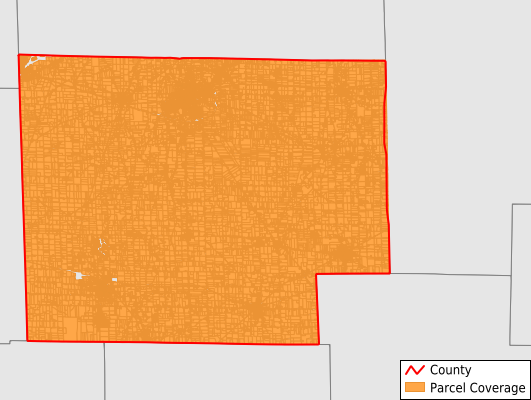
Parcels in County:
39,493
Parcel data available to download as a GDB, GeoPackage, Shapefile, Excel, CSV, or Google Earth KML file.
All purchased data comes with six months of access, including any updates, at no additional cost.
Key attribute coverage for Huron County
The percentage of Huron County parcels containing the following key attributes:
Owner: 100%
Parcel Number: 100%
Acreage (Calculated): 100%
Site Address: 99.7%
Mailing Address: 99.9%
All available attributes in Huron County
Parcel Number
Site Address
Owner
Neighborhood Code
Acreage (deeded)
Acreage (calculated)
Perimeter
Municipality
School District
Zip Code
Flood Zone
Flood Zone Subtype
Census Tract
Census Block Group
Census Block
Mail Name
Mail Address1
Mail Address3
Legal Desc1
Legal Desc2
Legal Desc3
Addr Sec Unit Num
Place Gnis Code
Land Cover
Elevation
Owner Occupied
Robust Id
Usps Residential
Plss Description
Plss Township
Plss Range
Crop Cover
Acreage Adjacent With Sameowner
Flood Zones
Nearest Transmission Line Dist Ft
Nearest Substation Dist Ft
Derived Geom Properties
Municipalities Respresented in Huron County
Bellevue City: 2,044
Bronson Township: 1,444
Clarksfield Township: 1,285
Fairfield Township: 1,026
Fitchville Township: 1,027
Greenfield Township: 1,836
Greenwich Township: 737
Hartland Township: 952
Lyme Township: 915
New Haven Township: 2,017
New London Township: 2,234
Norwalk City: 7,839
Norwalk Township: 2,192
Norwich Township: 1,256
Peru Township: 1,056
Richmond Township: 982
Ridgefield Township: 1,866
Ripley Township: 863
Sherman Township: 597
Townsend Township: 1,357
Wakeman Township: 1,650
Willard City: 3,256
Greenwich Village: 1,039
Save money when you buy data in bulk
We offer discounted pricing on county and state downloads.