Last Updated:
2025-Q4
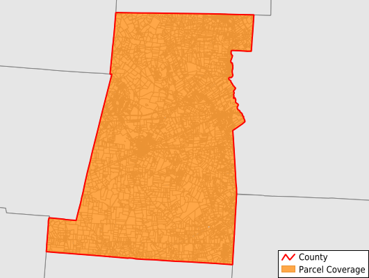
Parcels in County:
25,291
Parcel data available to download as a GDB, GeoPackage, Shapefile, Excel, CSV, or Google Earth KML file.
All purchased data comes with six months of access, including any updates, at no additional cost.
Key attribute coverage for Madison County
The percentage of Madison County parcels containing the following key attributes:
Owner: 98.6%
Parcel Number: 100%
Acreage (Calculated): 100%
Site Address: 98.2%
Mailing Address: 98.6%
All available attributes in Madison County
Parcel Number
Site Address
Owner
Transfer Date
Sale Price
Land Use Code
Land Use Class
Zoning
Acreage (deeded)
Acreage (calculated)
Perimeter
Municipality
School District
Zip Code
Flood Zone
Flood Zone Subtype
Census Tract
Census Block Group
Census Block
Total Market Value
Land Market Value
Building Market Value
Mail Address1
Buildings
Addr Sec Unit Num
Place Gnis Code
Land Cover
Elevation
Owner Occupied
Robust Id
Usps Residential
Alt Id 1
Crop Cover
Acreage Adjacent With Sameowner
Flood Zones
Nearest Transmission Line Dist Ft
Nearest Substation Dist Ft
Derived Geom Properties
Municipalities Respresented in Madison County
Canaan Township: 1,228
Darby Township: 3,025
Deer Creek Township: 821
Fairfield Township: 1,175
Jefferson Township: 4,365
London City: 5,152
Monroe Township: 789
Oak Run Township: 401
Paint Township: 545
Pike Township: 403
Pleasant Township: 2,275
Range Township: 1,037
Somerford Township: 2,073
Stokes Township: 643
Union Township: 1,329
Save money when you buy data in bulk
We offer discounted pricing on county and state downloads.