Last Updated:
2025-Q4
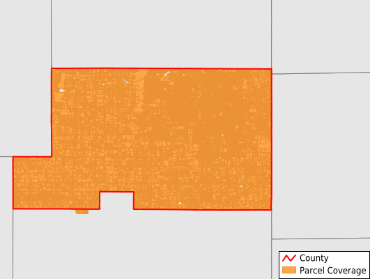
Parcels in County:
160,851
Parcel data available to download as a GDB, GeoPackage, Shapefile, Excel, CSV, or Google Earth KML file.
All purchased data comes with six months of access, including any updates, at no additional cost.
Key attribute coverage for Mahoning County
The percentage of Mahoning County parcels containing the following key attributes:
Owner: 98.9%
Parcel Number: 100%
Acreage (Calculated): 100%
Site Address: 98.9%
Mailing Address: 96.7%
All available attributes in Mahoning County
Parcel Number
Site Address
Owner
Transfer Date
Sale Price
Neighborhood Code
Land Use Code
Land Use Class
Acreage (deeded)
Acreage (calculated)
Perimeter
Municipality
School District
Zip Code
Flood Zone
Flood Zone Subtype
Census Tract
Census Block Group
Census Block
Total Market Value
Land Market Value
Building Market Value
Mail Address1
Mail Address3
Legal Desc1
Buildings
Place Gnis Code
Land Cover
Elevation
Owner Occupied
Robust Id
Usps Residential
Plss Description
Plss Township
Plss Range
Crop Cover
Acreage Adjacent With Sameowner
Flood Zones
Nearest Transmission Line Dist Ft
Nearest Substation Dist Ft
Derived Geom Properties
Municipalities Respresented in Mahoning County
Fairfield Township: 660
Perry Township: 24
Austintown Township: 17,008
Beaver Township: 3,969
Berlin Township: 1,500
Boardman Township: 19,762
Campbell City: 6,498
Canfield Township: 8,372
Coitsville Township: 1,680
Ellsworth Township: 1,450
Goshen Township: 1,862
Green Township: 2,222
Jackson Township: 1,508
Milton Township: 5,843
New Middletown Village: 803
Poland Township: 7,913
Sebring Village: 2,682
Smith Township: 5,030
Springfield Township: 3,724
Struthers City: 6,779
Youngstown City: 60,513
Lowellville Village: 872
Save money when you buy data in bulk
We offer discounted pricing on county and state downloads.