Last Updated:
2025-Q2
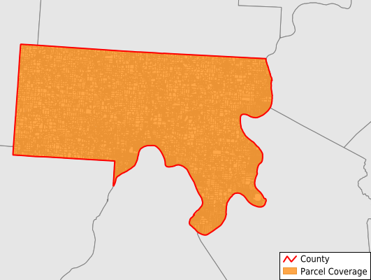
Parcels in County:
30,007
Parcel data available to download as a GDB, GeoPackage, Shapefile, Excel, CSV, or Google Earth KML file.
All purchased data comes with six months of access, including any updates, at no additional cost.
Key attribute coverage for Meigs County
The percentage of Meigs County parcels containing the following key attributes:
Owner: 76.4%
Parcel Number: 76.4%
Acreage (Calculated): 100%
Site Address: 97.3%
Mailing Address: 76.3%
All available attributes in Meigs County
Parcel Number
Site Address
Owner
Transfer Date
Acreage (calculated)
Perimeter
Municipality
School District
Zip Code
Flood Zone
Flood Zone Subtype
Census Tract
Census Block Group
Census Block
Map Book
Map Page
Mail Address1
Mail Address3
Legal Desc1
Legal Desc2
Legal Desc3
Addr Sec Unit Num
Place Gnis Code
Land Cover
Elevation
Owner Occupied
Robust Id
Usps Residential
Plss Description
Plss Township
Plss Range
Crop Cover
Acreage Adjacent With Sameowner
Municipalities Respresented in Meigs County
Bedford Township: 1,533
Chester Township: 2,408
Columbia Township: 1,441
Lebanon Township: 1,611
Letart Township: 1,143
Olive Township: 2,382
Orange Township: 1,177
Rutland Township: 2,578
Salem Township: 1,482
Salisbury Township: 8,893
Scipio Township: 1,452
Sutton Township: 3,907
Save money when you buy data in bulk
We offer discounted pricing on county and state downloads.