Last Updated:
2024-Q4
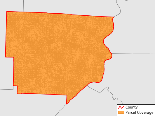
Parcels in County:
17,442
Parcel data available to download as a GDB, GeoPackage, Shapefile, Excel, CSV, or Google Earth KML file.
All purchased data comes with six months of access, including any updates, at no additional cost.
Key attribute coverage for Monroe County
The percentage of Monroe County parcels containing the following key attributes:
Owner: 98.3%
Parcel Number: 100%
Acreage (Calculated): 100%
Site Address: 100%
Mailing Address: 97.5%
All available attributes in Monroe County
Parcel Number
Site Address
Owner
Land Use Code
Land Use Class
Acreage (deeded)
Acreage (calculated)
Perimeter
Municipality
School District
Zip Code
Flood Zone
Flood Zone Subtype
Census Tract
Census Block Group
Census Block
Mail Name
Mail Address1
Mail Address3
Legal Desc1
Buildings
Place Gnis Code
Land Cover
Elevation
Robust Id
Usps Residential
Alt Id 2
Plss Description
Plss Township
Plss Range
Crop Cover
Acreage Adjacent With Sameowner
Municipalities Respresented in Monroe County
Adams Township: 749
Benton Township: 552
Bethel Township: 550
Center Township: 3,452
Franklin Township: 662
Green Township: 588
Jackson Township: 781
Lee Township: 1,026
Malaga Township: 1,074
Ohio Township: 1,128
Perry Township: 806
Salem Township: 1,316
Seneca Township: 557
Summit Township: 790
Sunsbury Township: 1,448
Switzerland Township: 656
Washington Township: 834
Wayne Township: 473
Save money when you buy data in bulk
We offer discounted pricing on county and state downloads.