Last Updated:
2024-Q4
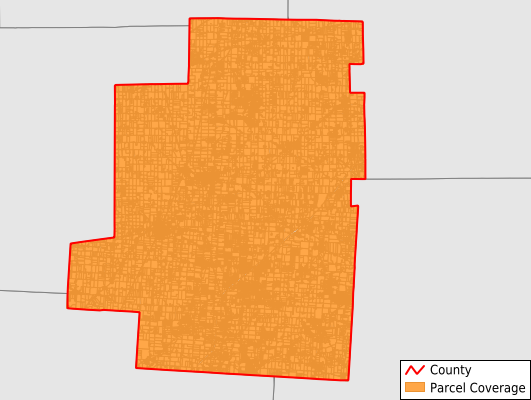
Parcels in County:
28,321
Parcel data available to download as a GDB, GeoPackage, Shapefile, Excel, CSV, or Google Earth KML file.
All purchased data comes with six months of access, including any updates, at no additional cost.
Key attribute coverage for Morrow County
The percentage of Morrow County parcels containing the following key attributes:
Owner: 98.1%
Parcel Number: 100%
Acreage (Calculated): 99.9%
Site Address: 98%
Mailing Address: 98.1%
All available attributes in Morrow County
Parcel Number
Site Address
Owner
Land Use Code
Land Use Class
Acreage (deeded)
Acreage (calculated)
Perimeter
Municipality
School District
Zip Code
Flood Zone
Flood Zone Subtype
Census Tract
Census Block Group
Census Block
Mail Address1
Place Gnis Code
Land Cover
Elevation
Owner Occupied
Robust Id
Usps Residential
Plss Description
Plss Township
Plss Range
Crop Cover
Acreage Adjacent With Sameowner
Municipalities Respresented in Morrow County
Galion City: 3
Bennington Township: 2,003
Canaan Township: 878
Cardington Township: 2,209
Chester Township: 1,378
Congress Township: 4,597
Franklin Township: 2,184
Gilead Township: 4,022
Harmony Township: 1,622
Lincoln Township: 1,474
North Bloomfield Township: 1,492
Perry Township: 1,180
Peru Township: 1,138
South Bloomfield Township: 1,322
Troy Township: 714
Washington Township: 1,075
Westfield Township: 1,010
Save money when you buy data in bulk
We offer discounted pricing on county and state downloads.