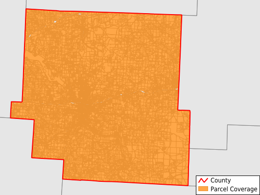
Muskingum County
Parcel Data
Price: $250.00
Last Updated:
2025-Q4
Parcels in County:
57,568
Parcel data available to download as a GDB, GeoPackage, Shapefile, Excel, CSV, or Google Earth KML file.
All purchased data comes with six months of access, including any updates, at no additional cost.
Key attribute coverage for Muskingum County
The percentage of Muskingum County parcels containing the following key attributes:
Owner: 99.4%
Parcel Number: 100%
Acreage (Calculated): 100%
Site Address: 99.3%
Mailing Address: 99.3%
All available attributes in Muskingum County
Parcel Number
Site Address
Owner
Transfer Date
Land Use Code
Land Use Class
Acreage (deeded)
Acreage (calculated)
Perimeter
Municipality
School District
Zip Code
Flood Zone
Flood Zone Subtype
Census Tract
Census Block Group
Census Block
Mail Name
Mail Address1
Mail Address3
Legal Desc1
Buildings
Addr Sec Unit Num
Place Gnis Code
Land Cover
Elevation
Owner Occupied
Robust Id
Usps Residential
Alt Id 1
Plss Description
Plss Township
Plss Range
Crop Cover
Acreage Adjacent With Sameowner
Flood Zones
Nearest Transmission Line Dist Ft
Nearest Substation Dist Ft
Derived Geom Properties
Municipalities Respresented in Muskingum County
Adams Township: 479
Blue Rock Township: 769
Brush Creek Township: 1,237
Cass Township: 1,417
Clay Township: 815
Falls Township: 4,975
Harrison Township: 1,586
Highland Township: 831
Hopewell Township: 2,333
Jackson Township: 1,555
Jefferson Township: 1,226
Licking Township: 1,624
Madison Township: 362
Meigs Township: 480
Monroe Township: 649
Muskingum Township: 2,529
Newton Township: 3,806
Perry Township: 1,955
Rich Hill Township: 492
Salem Township: 715
Salt Creek Township: 983
Springfield Township: 3,911
Union Township: 2,248
Washington Township: 2,732
Wayne Township: 3,314
Zanesville City: 14,542
Save money when you buy data in bulk
We offer discounted pricing on county and state downloads.