Last Updated:
2025-Q2
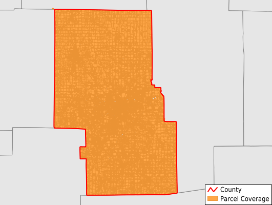
Parcels in County:
73,345
Parcel data available to download as a GDB, GeoPackage, Shapefile, Excel, CSV, or Google Earth KML file.
All purchased data comes with six months of access, including any updates, at no additional cost.
Key attribute coverage for Richland County
The percentage of Richland County parcels containing the following key attributes:
Owner: 99%
Parcel Number: 99%
Acreage (Calculated): 100%
Site Address: 98.8%
Mailing Address: 96.7%
All available attributes in Richland County
Parcel Number
Site Address
Owner
Neighborhood Code
Land Use Code
Land Use Class
Acreage (deeded)
Acreage (calculated)
Perimeter
Municipality
School District
Zip Code
Flood Zone
Flood Zone Subtype
Census Tract
Census Block Group
Census Block
Mail Address1
Mail Address3
Legal Desc1
Legal Desc2
Legal Desc3
Buildings
Addr Sec Unit Num
Place Gnis Code
Land Cover
Elevation
Owner Occupied
Robust Id
Usps Residential
Plss Description
Plss Township
Plss Range
Crop Cover
Acreage Adjacent With Sameowner
Flood Zones
Nearest Transmission Line Dist Ft
Nearest Substation Dist Ft
Derived Geom Properties
Municipalities Respresented in Richland County
Bloominggrove Township: 880
Butler Township: 559
Cass Township: 1,083
Franklin Township: 1,085
Jackson Township: 2,288
Jefferson Township: 3,095
Madison Township: 7,273
Mansfield City: 24,805
Mifflin Township: 3,331
Monroe Township: 2,079
Perry Township: 769
Plymouth Township: 1,504
Sandusky Township: 900
Sharon Township: 5,013
Springfield Township: 6,917
Troy Township: 3,907
Washington Township: 4,125
Weller Township: 1,195
Worthington Township: 2,534
Save money when you buy data in bulk
We offer discounted pricing on county and state downloads.