Last Updated:
2025-Q2
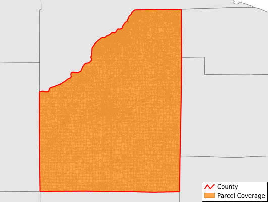
Parcels in County:
71,573
Parcel data available to download as a GDB, GeoPackage, Shapefile, Excel, CSV, or Google Earth KML file.
All purchased data comes with six months of access, including any updates, at no additional cost.
Key attribute coverage for Wood County
The percentage of Wood County parcels containing the following key attributes:
Owner: 100%
Parcel Number: 100%
Acreage (Calculated): 100%
Site Address: 100%
Mailing Address: 100%
All available attributes in Wood County
Parcel Number
Site Address
Owner
Neighborhood Code
Land Use Code
Land Use Class
Acreage (deeded)
Acreage (calculated)
Perimeter
Municipality
School District
Zip Code
Flood Zone
Flood Zone Subtype
Census Tract
Census Block Group
Census Block
Mail Name
Mail Address1
Mail Address3
Legal Desc1
Addr Sec Unit Num
Place Gnis Code
Land Cover
Elevation
Owner Occupied
Robust Id
Usps Residential
Alt Id 2
Plss Description
Plss Township
Plss Range
Crop Cover
Acreage Adjacent With Sameowner
Flood Zones
Nearest Transmission Line Dist Ft
Nearest Substation Dist Ft
Derived Geom Properties
Municipalities Respresented in Wood County
Fostoria City: 556
Bloom Township: 2,750
Bowling Green City: 9,641
Center Township: 946
Freedom Township: 2,068
Grand Rapids Township: 1,261
Henry Township: 3,337
Jackson Township: 1,012
Lake Township: 6,128
Liberty Township: 1,515
Middleton Township: 3,416
Milton Township: 1,363
Montgomery Township: 3,346
Northwood City: 3,982
Perry Township: 1,495
Perrysburg City: 9,915
Perrysburg Township: 5,981
Plain Township: 1,153
Portage Township: 1,485
Rossford City: 3,619
Troy Township: 2,639
Washington Township: 1,501
Webster Township: 917
Weston Township: 1,546
Save money when you buy data in bulk
We offer discounted pricing on county and state downloads.