Last Updated:
2025-Q3
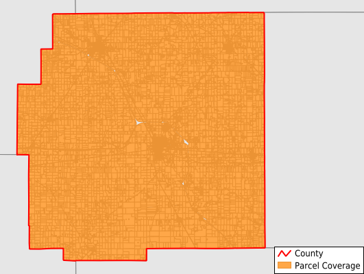
Parcels in County:
20,386
Parcel data available to download as a GDB, GeoPackage, Shapefile, Excel, CSV, or Google Earth KML file.
All purchased data comes with six months of access, including any updates, at no additional cost.
Key attribute coverage for Wyandot County
The percentage of Wyandot County parcels containing the following key attributes:
Owner: 99%
Parcel Number: 99.9%
Acreage (Calculated): 100%
Site Address: 95.9%
Mailing Address: 98.9%
All available attributes in Wyandot County
Parcel Number
Site Address
Owner
Acreage (calculated)
Perimeter
Municipality
School District
Zip Code
Census Tract
Census Block Group
Census Block
Mail Address1
Legal Desc1
Addr Sec Unit Num
Place Gnis Code
Land Cover
Elevation
Owner Occupied
Robust Id
Usps Residential
Alt Id 1
Plss Description
Plss Township
Plss Range
Crop Cover
Acreage Adjacent With Sameowner
Nearest Transmission Line Dist Ft
Nearest Substation Dist Ft
Derived Geom Properties
Municipalities Respresented in Wyandot County
Antrim Township: 1,355
Crane Township: 5,131
Crawford Township: 3,569
Eden Township: 1,127
Jackson Township: 714
Marseilles Township: 631
Mifflin Township: 890
Pitt Township: 1,181
Richland Township: 1,127
Ridge Township: 623
Salem Township: 1,090
Sycamore Township: 1,538
Tymochtee Township: 1,410
Save money when you buy data in bulk
We offer discounted pricing on county and state downloads.