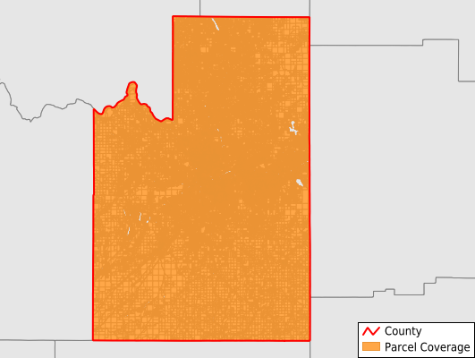
Spokane County
Parcel Data
Price: $200.00
Last Updated:
2026-Q1
Parcels in County:
213,716
Parcel data available to download as a GDB, GeoPackage, Shapefile, Excel, CSV, or Google Earth KML file.
All purchased data comes with six months of access, including any updates, at no additional cost.
Key attribute coverage for Spokane County
The percentage of Spokane County parcels containing the following key attributes:
Owner: 100%
Parcel Number: 100%
Acreage (Calculated): 100%
Site Address: 100%
Mailing Address: 100%
All available attributes in Spokane County
Parcel Number
Site Address
Owner
Land Use Code
Land Use Class
Acreage (deeded)
Acreage (calculated)
Perimeter
Municipality
School District
Zip Code
Flood Zone
Flood Zone Subtype
Census Tract
Census Block Group
Census Block
Land Market Value
Mail Name
Mail Address1
Mail Address3
Buildings
Addr Sec Unit Num
Place Gnis Code
Land Cover
Elevation
Owner Occupied
Robust Id
Usps Residential
Plss Description
Plss Township
Plss Range
Plss Section
Crop Cover
Acreage Adjacent With Sameowner
Flood Zones
Nearest Transmission Line Dist Ft
Nearest Substation Dist Ft
Derived Geom Properties
Robust Id Source
Municipalities Respresented in Spokane County
Airway Heights CCD: 7,309
Colbert CCD: 6,964
Deer Park CCD: 17,403
Liberty Lake CCD: 8,514
Spokane South CCD: 5,674
Cheney-Medical Lake CCD: 10,029
Mount Spokane CCD: 4,620
Rockford CCD: 4,677
Spokane CCD: 143,290
Amber-Cheney South CCD: 2,937
Valleyford CCD: 2,298
Save money when you buy data in bulk
We offer discounted pricing on county and state downloads.