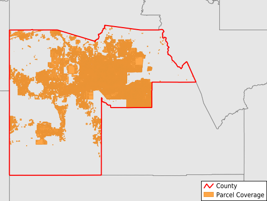
Maricopa County
Parcel Data
Price: $300.00
Last Updated:
2026-Q2
Parcels in County:
1,756,223
Parcel data available to download as a GDB, GeoPackage, Shapefile, Excel, CSV, or Google Earth KML file.
All purchased data comes with six months of access, including any updates, at no additional cost.
Key attribute coverage for Maricopa County
The percentage of Maricopa County parcels containing the following key attributes:
Owner: 99.8%
Parcel Number: 100%
Acreage (Calculated): 100%
Site Address: 93.5%
Mailing Address: 99.8%
All available attributes in Maricopa County
Parcel Number
Site Address
Owner
Transfer Date
Sale Price
Land Use Code
Land Use Class
Acreage (calculated)
Perimeter
Municipality
School District
Zip Code
Flood Zone
Flood Zone Subtype
Census Tract
Census Block Group
Census Block
Map Book
Map Page
Mail Address1
Mail Address2
Mail Address3
Year Built
Buildings
Addr Sec Unit Num
Place Gnis Code
Land Cover
Elevation
Owner Occupied
Robust Id
Usps Residential
Alt Id 1
Plss Description
Plss Township
Plss Range
Plss Section
Crop Cover
Acreage Adjacent With Sameowner
Flood Zones
Nearest Transmission Line Dist Ft
Nearest Substation Dist Ft
Derived Geom Properties
Robust Id Source
Municipalities Respresented in Maricopa County
Buckeye CCD: 80,715
Chandler CCD: 207,067
Deer Valley CCD: 136,275
Gila Bend CCD: 22,194
Phoenix CCD: 1,187,386
St. Johns CCD: 16
Salt River CCD: 19
Tonto National Forest CCD: 13,994
Wickenburg CCD: 108,556
Save money when you buy data in bulk
We offer discounted pricing on county and state downloads.